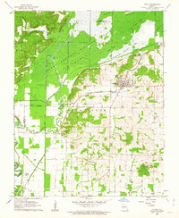
1962 Map of Puxico
USGS Topo · Published 1986About this map
Mingo National Wildlife Refuge dominates the northern half of this landscape, where the swampy bottomlands of the St. Francis River basin are defined by a complex system of drainage ditches and natural sloughs. The terrain transitions from the low-lying Cypress Lake and Mingo Slough to the prominent elevations of Rockhouse Ridge and Bee Press Ridge. This 1960s survey documents the critical intersection of conservation efforts and local infrastructure, with the Refuge Headquarters situated near the town of Puxico.
Find a feature on this map
45 named features on this map. Tap any name to fly to it.
Don’t see what you’re looking for? This feature index may not catch every label — zoom into the map to look around manually.
Map Details
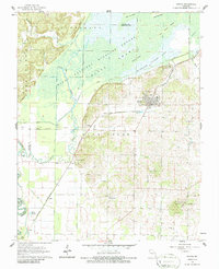
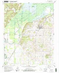
Editions of this 1962 Puxico Map
3 editions found
Other maps of this area

1934 · Greenville
USGS Topo · 1:62,500

1934 · Puxico
USGS Topo · 1:62,500

1935 · Poplar Bluff
USGS Topo · 1:62,500

1935 · Zalma
USGS Topo · 1:62,500

1939 · Greenville
USGS Topo · 1:62,500

1939 · Puxico
USGS Topo · 1:62,500

1939 · Zalma
USGS Topo · 1:62,500

1939 · Poplar Bluff
USGS Topo · 1:62,500

1949 · Rolla
USGS Topo · 1:250,000

1949 · Poplar Bluff
USGS Topo · 1:62,500