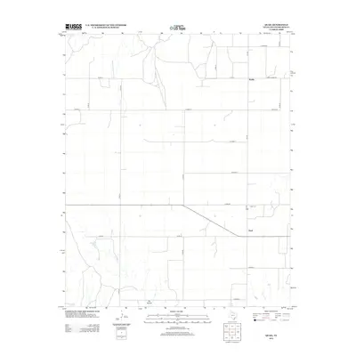
2012 Map of Quail
USGS Topo · Published 2012About this map
Quail stands at the center of this rural Collingsworth County landscape, where the agricultural grid of the Texas Panhandle meets the natural drainages of the eastern Plains. The settlement patterns here are defined by a network of farm-to-market roads and county lines, such as FM-1547 and Ranch Road 1981, which connect isolated homesteads and the smaller locale of Marilla. Significant local landmarks include the Quail Cem north of the main settlement, providing a point of interest for genealogical research. Water sources are scarce but present in the form of McIntosh Lake and O'Hair Springs, while the prominent Dry Hollow cuts through the southern terrain. This survey reflects the enduring cattle and farming culture of the region in the early twenty-first century.
Find a feature on this map
24 named features on this map. Tap any name to fly to it.
Don’t see what you’re looking for? This feature index may not catch every label — zoom into the map to look around manually.
Map Details
Editions of this 2012 Quail Map
This is the sole edition of this map. No revisions or reprints were ever made.
Other maps of this area

1954 · Amarillo
USGS Topo · 1:250,000

1954 · Plainview
USGS Topo · 1:250,000

1958 · Amarillo
USGS Topo · 1:250,000

1958 · Plainview
USGS Topo · 1:250,000

1959 · Spencer Lake
USGS Topo · 1:24,000

1959 · McKnight
USGS Topo · 1:24,000

1963 · Giles
USGS Topo · 1:24,000

1964 · Rolla SW
USGS Topo · 1:24,000

1964 · Rolla NE
USGS Topo · 1:24,000

1964 · Quail
USGS Topo · 1:24,000