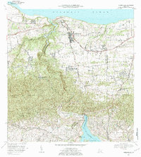
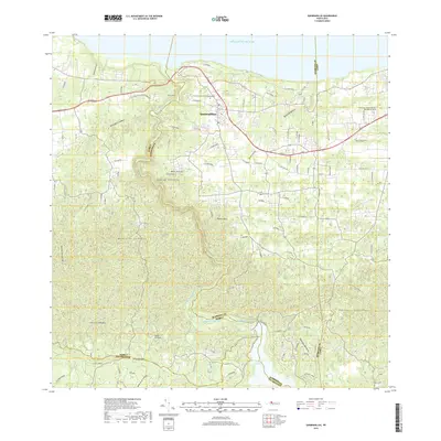
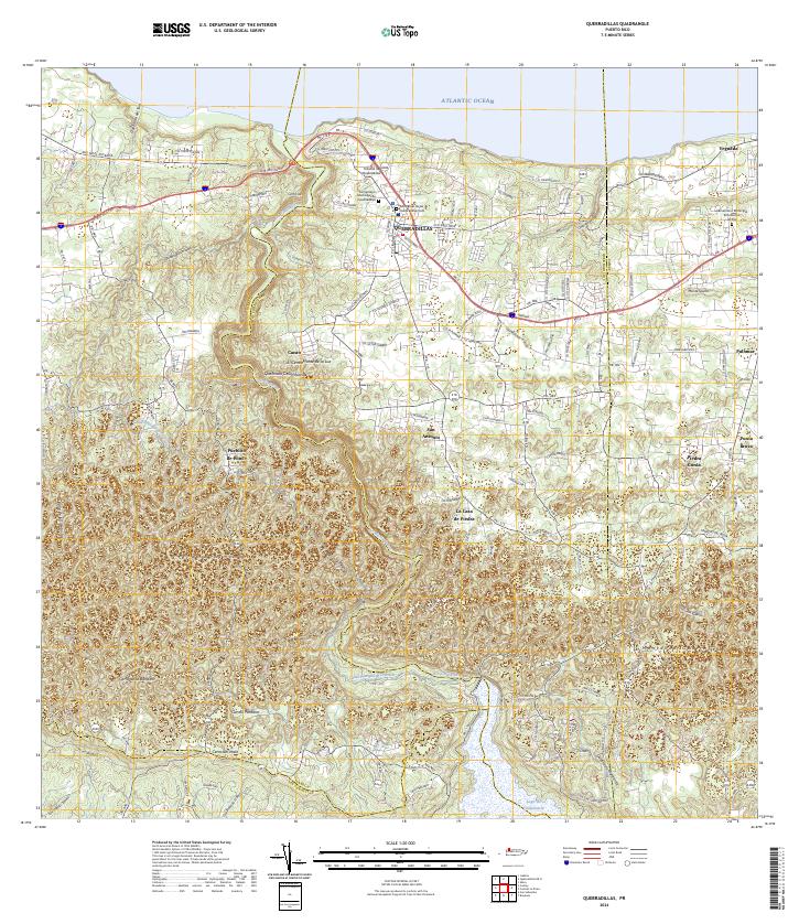
1972 Map of Quebradillas
USGS Topo · Published 1984About this map
Quebradillas and its rugged coastal topography are defined by the deep gorge of the Rio Guajataca, which winds from the Lago de Guajataca in the south toward the Atlantic Ocean. This 1970s landscape shows a transition from the agricultural Barrios of Cacao and Cocos to the organized town center. Local landmarks like Pozo del Rey and the historic La Casa de Piedra anchor the community, while the Pista de Aterrizaje suggests a period of modernized infrastructure alongside traditional rural life. The map documents numerous educational and religious centers essential for genealogical research, including the Escuela Jose de Diego and the Iglesia Virgen del Carmen. Steep limestone cliffs and named peaks like Monte de la Luz overlook the Ferrocarril line that skirts the northern coastline, illustrating the island's mid-century transport network.
Find a feature on this map
62 named features on this map. Tap any name to fly to it.
Don’t see what you’re looking for? This feature index may not catch every label — zoom into the map to look around manually.
Map Details
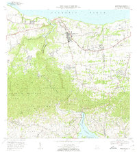
Editions of this 1972 Quebradillas Map
2 editions found
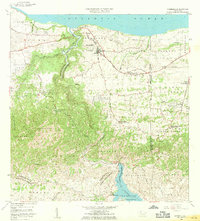
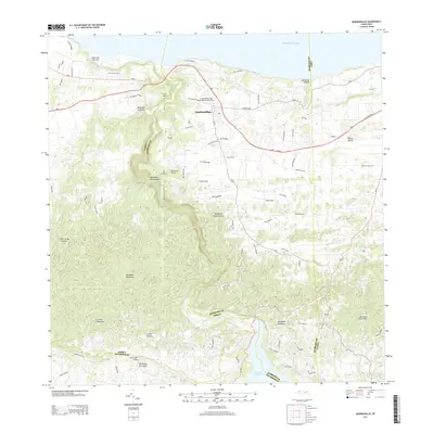
Historical Maps of Quebradillas Through Time
6 maps found

Featured Locations
- Reparto Apolonio Vélez Ramos, Isabela
- Brisas de la Sabana, Camuy
- Hacienda La Sabana, Camuy
- Villa Ledumerced, Quebradillas
- Quebradillas, Quebradillas