
1944 Map of Quincy
USGS Topo · Published 1954About this map
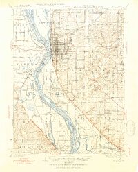
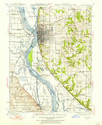
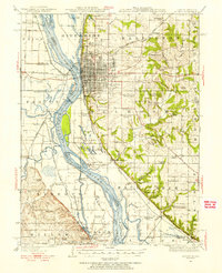
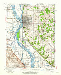
The industrial and riverfront character of Quincy dominates this mid-century survey, showing the city's complex relationship with the Mississippi River. On the Illinois side, a dense network of country schools like St Ludgerus School and Hickory Grove School serves the rural townships of Ellington and Melrose. The river plain is a labyrinth of chutes, islands, and backwater lakes, including Turtle Shell Lake and Big Lake, with the Chicago Burlington and Quincy RR providing the primary transportation spine through the valley.
Find a feature on this map
113 named features on this map. Tap any name to fly to it.
Don’t see what you’re looking for? This feature index may not catch every label — zoom into the map to look around manually.
Map Details
Editions of this 1944 Quincy Map
5 editions found
Other maps of this area

1903 · Kahoka
USGS Topo · 1:125,000

1903 · Palmyra
USGS Topo · 1:125,000

1925 · Quincy
USGS Topo · 1:62,500

1925 · Liberty
USGS Topo · 1:62,500

1927 · Liberty
USGS Topo · 1:62,500

1931 · Barry
USGS Topo · 1:62,500

1932 · Hannibal
USGS Topo · 1:62,500

1936 · Hannibal
USGS Topo · 1:48,000

1936 · Barry
USGS Topo · 1:48,000

1944 · Barry
USGS Topo · 1:62,500