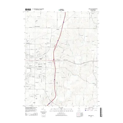
2015 Map of Quincy East
USGS Topo · Published 2015About this map
Quincy and its eastern suburbs are shown here as they appeared in 2015, revealing a landscape where expanding residential developments like Meadowbrook and Cheshire Hills meet a rich historical record of rural cemeteries and homesteads. The terrain is defined by the drainages of Mill Cr and Curtis Cr, which carve through the plateau east of the Mississippi River valley. This area serves as an important educational and religious hub, anchored by the John Wood Community Coll and Vatterott Coll, alongside prominent institutions like Saint Anthonys Church.
Find a feature on this map
93 named features on this map. Tap any name to fly to it.
Don’t see what you’re looking for? This feature index may not catch every label — zoom into the map to look around manually.
Map Details
Editions of this 2015 Quincy East Map
This is the sole edition of this map. No revisions or reprints were ever made.
Other maps of this area

1925 · Quincy
USGS Topo · 1:62,500

1925 · Liberty
USGS Topo · 1:62,500

1927 · Liberty
USGS Topo · 1:62,500

1944 · Quincy
USGS Topo · 1:62,500

1945 · Quincy
USGS Topo · 1:62,500

1946 · Mendon
USGS Topo · 1:62,500

1948 · Quincy
USGS Topo · 1:250,000

1948 · Mendon
USGS Topo · 1:62,500

1948 · Camp Point
USGS Topo · 1:62,500

1956 · Quincy
USGS Topo · 1:250,000