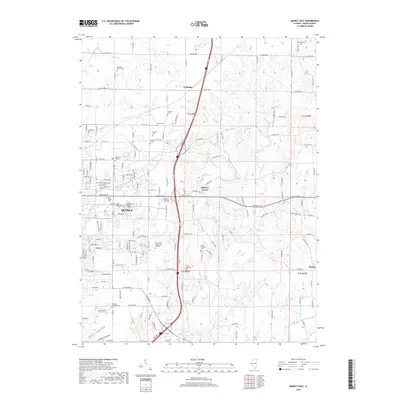
2018 Map of Quincy East
USGS Topo · Published 2018About this map
Quincy expands eastward in this contemporary landscape, where the urban grid meets the agricultural and wooded drainages of Adams County. The eastern edge of the city is defined by significant educational and memorial sites, including Vatterott College and John Wood Community College, alongside numerous cemeteries such as Saint Peters Cem and the Forest Lawn Memorial Gardens. The terrain becomes more complex as one moves away from the city center, with the southern reaches of the map featuring the evocative names of Ghost Hollow and Distillery Hollow near the Ehe Cem. Further north, smaller settlements like Ewbanks and Hickory Grove sit among a network of creeks, including Cedar Cr, Little Mill Cr, and Mill Cr. This map documents a modern era of suburban infill, highlighting how new developments and institutional campuses now occupy lands once dominated by family plots like the Laughlin Cem and Voorhees Cem.
Find a feature on this map
158 named features on this map. Tap any name to fly to it.
Don’t see what you’re looking for? This feature index may not catch every label — zoom into the map to look around manually.
Map Details
Editions of this 2018 Quincy East Map
This is the sole edition of this map. No revisions or reprints were ever made.
Other maps of this area

1925 · Quincy
USGS Topo · 1:62,500

1925 · Liberty
USGS Topo · 1:62,500

1927 · Liberty
USGS Topo · 1:62,500

1944 · Quincy
USGS Topo · 1:62,500

1945 · Quincy
USGS Topo · 1:62,500

1946 · Mendon
USGS Topo · 1:62,500

1948 · Quincy
USGS Topo · 1:250,000

1948 · Mendon
USGS Topo · 1:62,500

1948 · Camp Point
USGS Topo · 1:62,500

1956 · Quincy
USGS Topo · 1:250,000