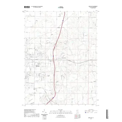
2021 Map of Quincy East
USGS Topo · Published 2021About this map
Quincy and its eastern surroundings are characterized by a network of suburban growth and traditional rural settlements in this modern survey. The terrain is defined by several watercourses including Mill Creek, Cedar Creek, and Homan Creek which carve through the landscape, creating distinct geographic areas like Abbey Ridge and the evocatively named Ghost Hollow. For those tracing local heritage, the map identifies numerous small burial grounds and family plots such as the Voorhees Family Cemetery, Laughlin Cemetery, and Kemp Cemetery.
Find a feature on this map
67 named features on this map. Tap any name to fly to it.
Don’t see what you’re looking for? This feature index may not catch every label — zoom into the map to look around manually.
Map Details
Editions of this 2021 Quincy East Map
This is the sole edition of this map. No revisions or reprints were ever made.
Other maps of this area

1925 · Quincy
USGS Topo · 1:62,500

1925 · Liberty
USGS Topo · 1:62,500

1927 · Liberty
USGS Topo · 1:62,500

1944 · Quincy
USGS Topo · 1:62,500

1945 · Quincy
USGS Topo · 1:62,500

1946 · Mendon
USGS Topo · 1:62,500

1948 · Quincy
USGS Topo · 1:250,000

1948 · Mendon
USGS Topo · 1:62,500

1948 · Camp Point
USGS Topo · 1:62,500

1956 · Quincy
USGS Topo · 1:250,000