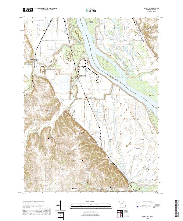
2021 Map of Quincy SW
USGS Topo · Published 2021About this map
The Mississippi River defines the border between Illinois and Missouri in this riverine landscape, where the shifting waters have carved a complex network of chutes and sloughs. Scattered across the bottomlands and bluffs are the small communities of North River, South River, Huiskamp, and Helton, leading toward the northern edges of Hannibal. A significant concentration of family and community burial sites, including Pennewell Cem, Gottman Cem, and Thrasher Chapel Cem, are preserved on the elevated ground overlooking the river valley. The landscape is dominated by large islands such as Ward Island, Goose Island, and Fabius Island, illustrating the dynamic nature of the river's path. Inland, the terrain rises into narrow hollows like Distillery Hollow and Ghost Hollow, where smaller water bodies like Twin Lake and Turtle Lake provide a sharp contrast to the broad expanse of the main river channel.
Find a feature on this map
86 named features on this map. Tap any name to fly to it.
Don’t see what you’re looking for? This feature index may not catch every label — zoom into the map to look around manually.
Map Details
Editions of this 2021 Quincy SW Map
This is the sole edition of this map. No revisions or reprints were ever made.
Historical Maps of Illinois Through Time
15 maps found
1949 Durham
Marion County, MO
1949 Maywood
Marion County, MO

1950 Durham
Marion County, MO
1950 Maywood
Marion County, MO
1964 Emden
Marion County, MO
1964 Nelsonville
Marion County, MO
1971 Hannibal West
Marion County, MO
1971 Quincy SW
Marion County, MO
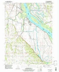
1996 Quincy SW
Marion County, MO
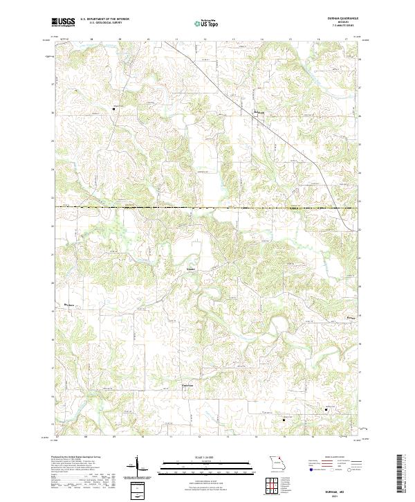
2021 Durham
Marion County, MO
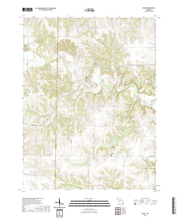
2021 Emden
Marion County, MO
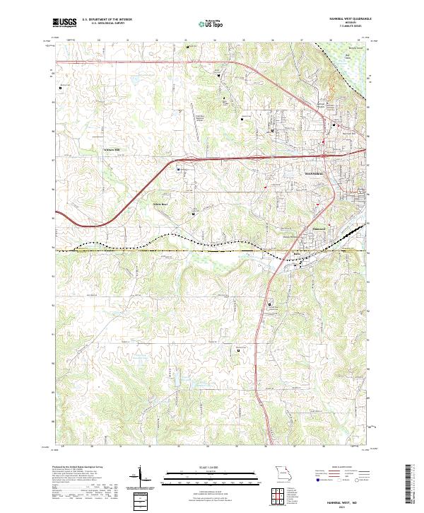
2021 Hannibal West
Marion County, MO
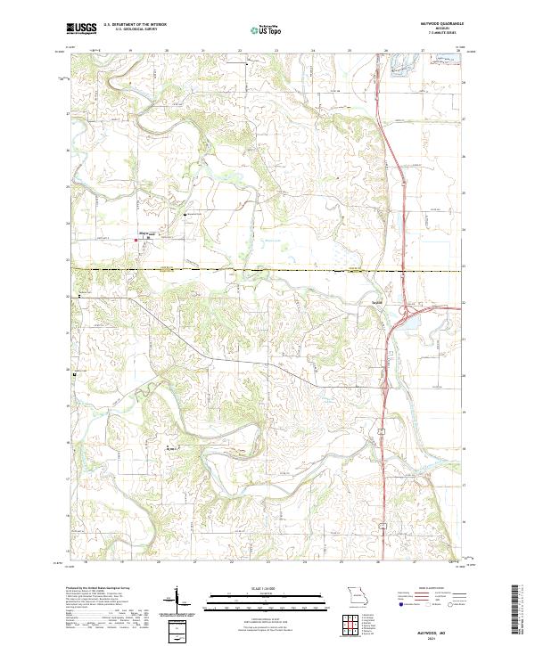
2021 Maywood
Marion County, MO
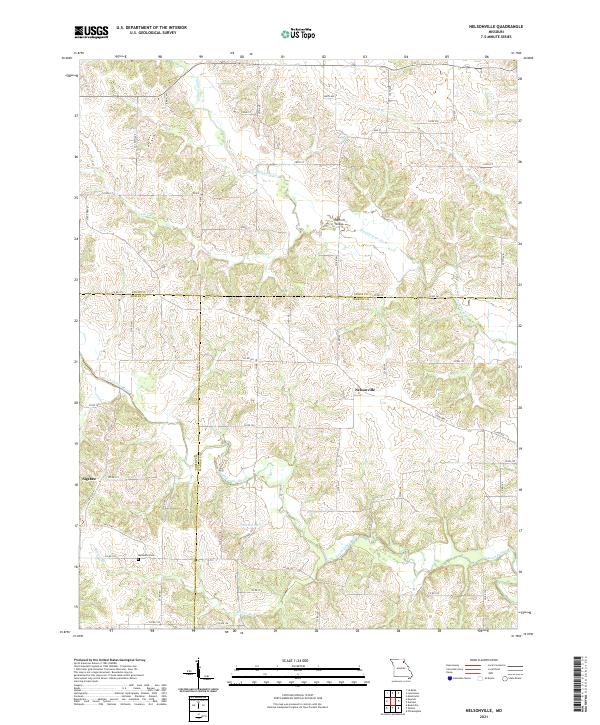
2021 Nelsonville
Marion County, MO
2021 Quincy SW
Marion County, MO