
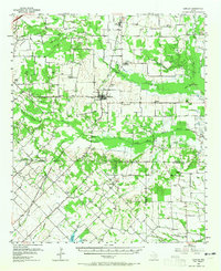
1956 Map of Quinlan
USGS Topo · Published 1957About this map
Agricultural lands and rural crossroads define this landscape at the junction of Hunt, Kaufman, and Van Zandt counties during the mid-1950s. The town of Quinlan serves as a central hub, situated along the Texas and New Orleans (Southern Pacific) railroad line. To the north, the small settlement of Cash sits near the headwaters of Caddo Creek, while the southern reaches are marked by the winding course of the South Fork Sabine River and its numerous tributaries like Duck Creek.
Find a feature on this map
58 named features on this map. Tap any name to fly to it.
Don’t see what you’re looking for? This feature index may not catch every label — zoom into the map to look around manually.
Map Details
Editions of this 1956 Quinlan Map
3 editions found
Other maps of this area

1919 · Royse City
USGS Topo · 1:62,500

1930 · Farmersville
USGS Topo · 1:62,500

1953 · Texarkana
USGS Topo · 1:250,000

1954 · Dallas
USGS Topo · 1:250,000

1954 · Sherman
USGS Topo · 1:250,000

1956 · Texarkana
USGS Topo · 1:250,000

1956 · Kaufman
USGS Topo · 1:62,500

1956 · Tyler
USGS Topo · 1:250,000

1956 · Emory
USGS Topo · 1:62,500

1958 · Dallas
USGS Topo · 1:250,000