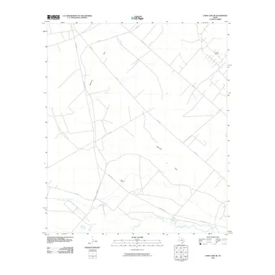
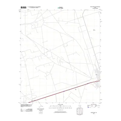
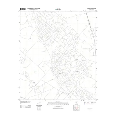
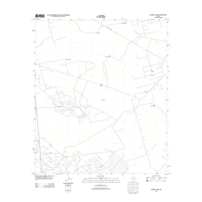
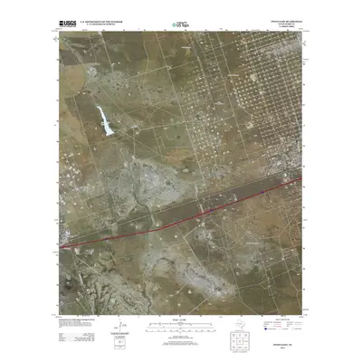
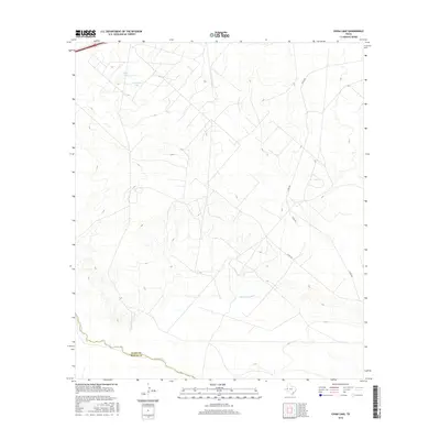
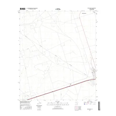
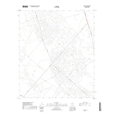
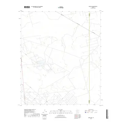
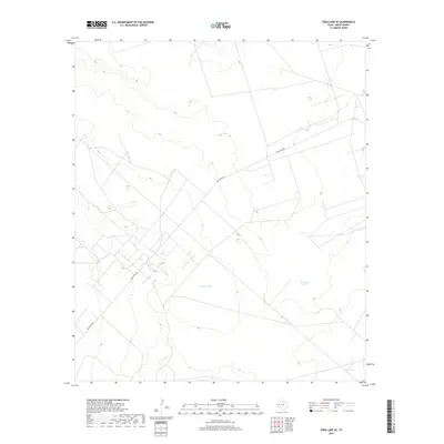
1963 Map of Quito Draw
USGS Topo · Published 1981About this map
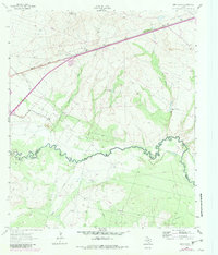
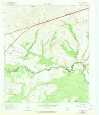
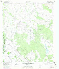
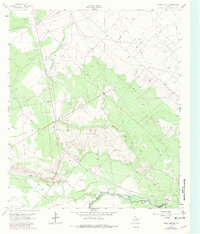
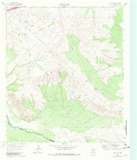
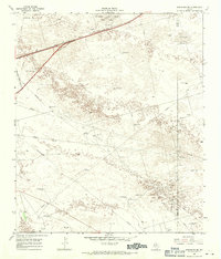
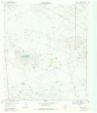
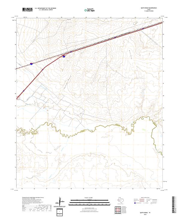
The Pecos River carves a winding path through this West Texas landscape, serving as the border between Ward and Reeves Counties. This 1963 survey, with updates from 1979, illustrates an arid environment defined by hydraulic engineering and energy extraction. The Scott Delaware Oil Field occupies the central portion of the sheet, marked by a dense network of drill holes and pipelines. Water management is equally prominent, featuring the Blue Valley Canal and an Aqueduct designed to move resources across the dry terrain of Quito Draw and Worsham Draw. Transportation is anchored by the Missouri Pacific railroad, which runs parallel to the Main Line road in the northern sector near Hays Hill. The presence of several Gravel Pits and the convergence of Toyah Creek with the Pecos highlight the region's industrial and geological character during the mid-twentieth century.
Find a feature on this map
14 named features on this map. Tap any name to fly to it.
Don’t see what you’re looking for? This feature index may not catch every label — zoom into the map to look around manually.
Map Details
Editions of this 1963 Quito Draw Map
2 editions found
Historical Maps of Reeves County Through Time
60 maps found
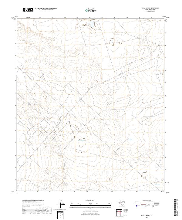
1961 Soda Lake
Ward County, TX
1963 China Lake NE
Ward County, TX
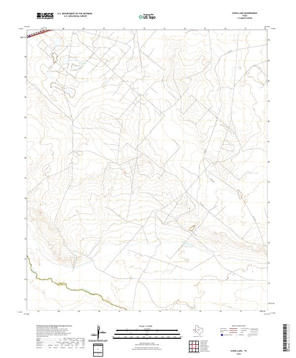
1963 China Lake
Ward County, TX
1963 Quito Draw
Ward County, TX
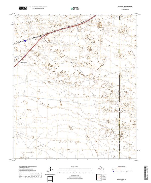
1968 Monahans SE
Ward County, TX
1968 Soda Lake SE
Ward County, TX
1969 7 L Ranch
Ward County, TX
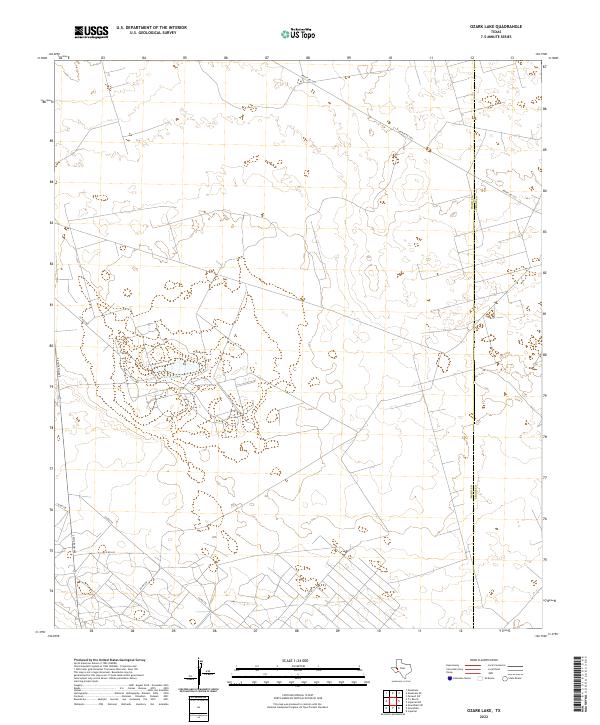
1969 Ozark Lake
Ward County, TX
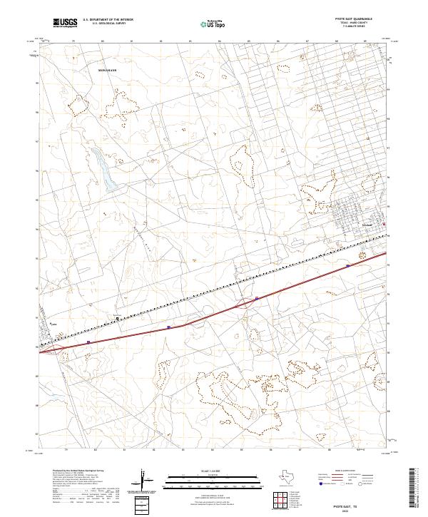
1969 Pyote East
Ward County, TX
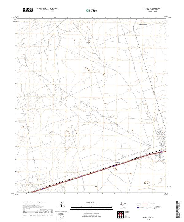
1969 Pyote West
Ward County, TX
2010 7 L Ranch
Ward County, TX
2010 China Lake NE
Ward County, TX
2010 China Lake
Ward County, TX

2010 Monahans SE
Ward County, TX
2010 Ozark Lake
Ward County, TX
2010 Pyote East
Ward County, TX
2010 Pyote West
Ward County, TX
2010 Quito Draw
Ward County, TX
2010 Soda Lake SE
Ward County, TX
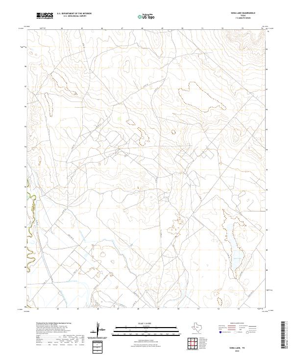
2010 Soda Lake
Ward County, TX
2012 7 L Ranch
Ward County, TX
2012 China Lake NE
Ward County, TX
2012 China Lake
Ward County, TX
2012 Monahans SE
Ward County, TX
2012 Ozark Lake
Ward County, TX
2012 Pyote West
Ward County, TX
2012 Quito Draw
Ward County, TX
2012 Soda Lake
Ward County, TX
2013 Pyote East
Ward County, TX
2013 Soda Lake SE
Ward County, TX
2016 7 L Ranch
Ward County, TX
2016 China Lake NE
Ward County, TX
2016 China Lake
Ward County, TX
2016 Monahans SE
Ward County, TX
2016 Ozark Lake
Ward County, TX
2016 Pyote East
Ward County, TX
2016 Pyote West
Ward County, TX
2016 Quito Draw
Ward County, TX
2016 Soda Lake SE
Ward County, TX
2016 Soda Lake
Ward County, TX
2019 7 L Ranch
Ward County, TX
2019 China Lake NE
Ward County, TX
2019 China Lake
Ward County, TX
2019 Monahans SE
Ward County, TX
2019 Ozark Lake
Ward County, TX
2019 Pyote East
Ward County, TX
2019 Pyote West
Ward County, TX
2019 Quito Draw
Ward County, TX
2019 Soda Lake SE
Ward County, TX
2019 Soda Lake
Ward County, TX
2022 7 L Ranch
Ward County, TX
2022 China Lake NE
Ward County, TX
2022 China Lake
Ward County, TX
2022 Monahans SE
Ward County, TX
2022 Ozark Lake
Ward County, TX
2022 Pyote East
Ward County, TX
2022 Pyote West
Ward County, TX
2022 Quito Draw
Ward County, TX
2022 Soda Lake SE
Ward County, TX
2022 Soda Lake
Ward County, TX