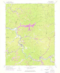
1965 Map of Racine
USGS Topo · Published 1977About this map
The Coal River winds through the heart of this West Virginia landscape, anchoring a network of coal-company towns and family settlements during a period of significant industrial activity. The corridor is defined by the Chesapeake and Ohio railroad, which served as the lifeline for communities like Peytona, Nellis, and Racine. The geography of the mid-1960s is meticulously recorded here, showing numerous strip mines and conveyors alongside established civic landmarks such as the Leon Memorial Tabernacle and Mahone Chapel. In the northern section, the rugged hills of the Kanawha State Forest contrast with the dense industrial footprint to the south. Genealogists will find a wealth of local data in the numerous family burying grounds, including Snodgrass Hollow, Barker Cem, and Workman Cem, providing a clear record of the families who inhabited these hollows before later modern developments.
Find a feature on this map
100 named features on this map. Tap any name to fly to it.
Don’t see what you’re looking for? This feature index may not catch every label — zoom into the map to look around manually.
Map Details
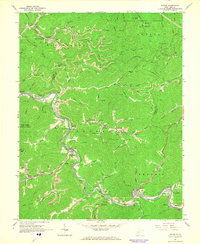
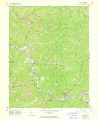
Editions of this 1965 Racine Map
3 editions found
Other maps of this area

1899 · Charleston
USGS Topo · 1:125,000

1909 · Charleston
USGS Topo · 1:62,500

1909 · Peytona
USGS Topo · 1:48,000

1909 · Saint Albans
USGS Topo · 1:62,500

1911 · Peytona
USGS Topo · 1:62,500

1911 · Madison
USGS Topo · 1:62,500

1929 · Madison
USGS Topo · 1:62,500

1929 · Peytona
USGS Topo · 1:62,500

1931 · Madison
USGS Topo · 1:62,500

1931 · Saint Albans
USGS Topo · 1:62,500