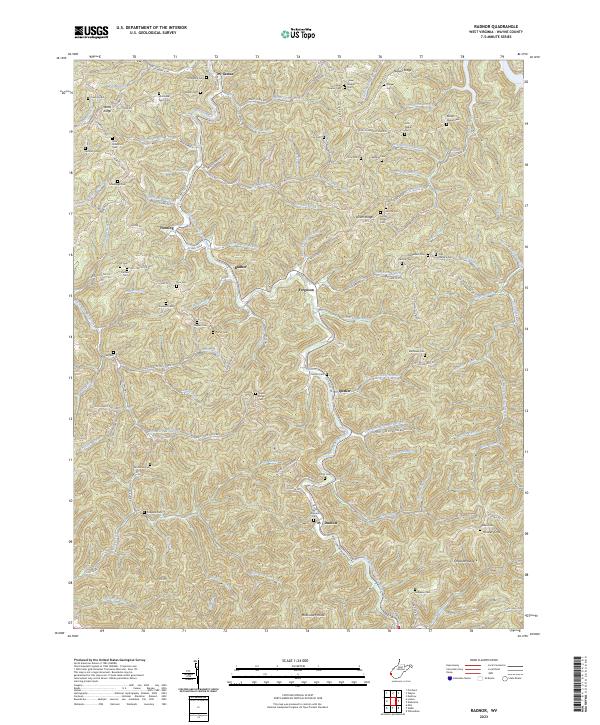
2023 Map of Radnor
USGS Topo · Published 2023About this map
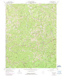
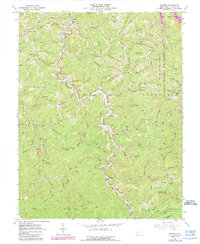
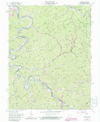
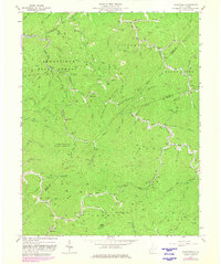
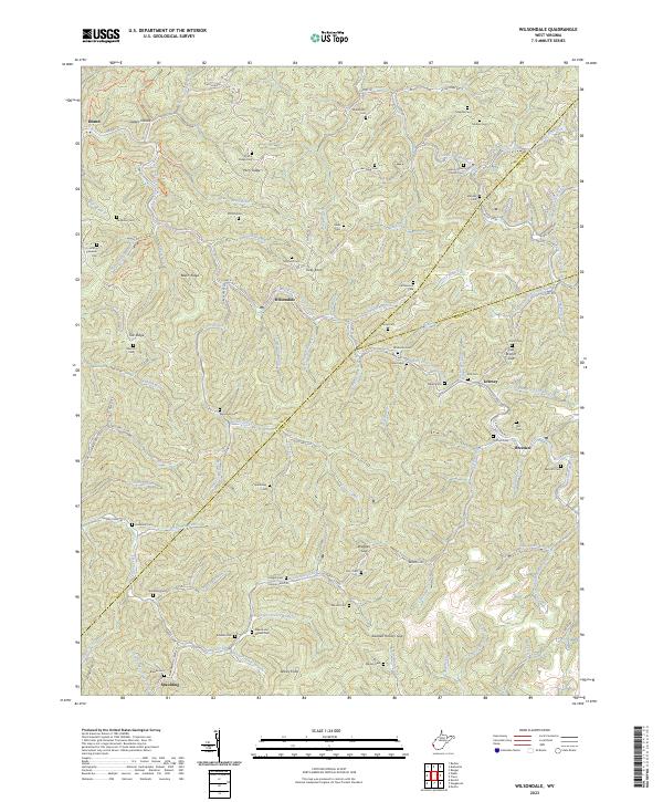
West Fork Twelvepole Creek carves a deep path through Wayne County, anchoring a landscape defined by sharp ridges and narrow hollows. Small settlements like Radnor and Genoa are situated along these watercourses, connected by winding routes such as Billy Branch Rd. The area's genealogical depth is evident in the high density of family-named burial sites, including the Marilyn Napier Cem and John Robertson Cem, which are scattered across the high ground of Lycans Ridge and Napier Ridge.
Find a feature on this map
118 named features on this map. Tap any name to fly to it.
Don’t see what you’re looking for? This feature index may not catch every label — zoom into the map to look around manually.
Map Details
Editions of this 2023 Radnor Map
This is the sole edition of this map. No revisions or reprints were ever made.
Historical Maps of Dunlow Through Time
13 maps found
1954 Webb
Wayne County, WV
1957 Burnaugh
Wayne County, WV
1962 Kiahsville
Wayne County, WV
1962 Nestlow
Wayne County, WV
1962 Radnor
Wayne County, WV
1963 Webb
Wayne County, WV
1963 Wilsondale
Wayne County, WV
1996 Wilsondale
Wayne County, WV
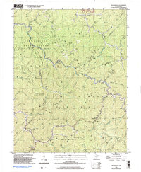
2023 Kiahsville
Wayne County, WV
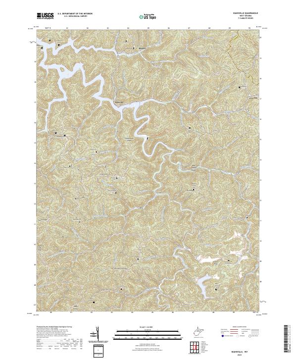
2023 Nestlow
Wayne County, WV
2023 Radnor
Wayne County, WV
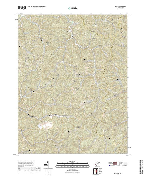
2023 Webb
Wayne County, WV
2023 Wilsondale
Wayne County, WV