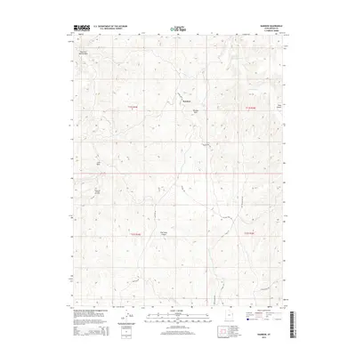
2014 Map of Rainbow
USGS Topo · Published 2014About this map
Rainbow sits atop a high-elevation plateau in Uintah County, surrounded by a complex network of canyons and ridges that define this portion of the Uinta Basin. The area's industrial character is marked by the Oil Springs Oil and Gas Field in the west and the prevalence of heavy-duty haulage routes like the Don Holmes Haul Rd and Wolf Den Rd. These paths navigate a landscape deeply carved by drainages such as East Fork Asphalt Wash and Evacuation Cr. Landmarks like Thimble Rock and Atchee Ridge provide orientation across the high ground, while East Seep Canyon and Park Canyon cut deep into the terrain. The presence of numerous named haul roads and oil fields reflects a landscape defined by natural resource extraction and the specialized infrastructure required to navigate its high-desert topography.
Find a feature on this map
21 named features on this map. Tap any name to fly to it.
Don’t see what you’re looking for? This feature index may not catch every label — zoom into the map to look around manually.
Map Details
Editions of this 2014 Rainbow Map
This is the sole edition of this map. No revisions or reprints were ever made.
Other maps of this area

1885 · East Tavaputs
USGS Topo · 1:250,000

1956 · Grand Junction
USGS Topo · 1:250,000

1959 · Grand Junction
USGS Topo · 1:250,000

1960 · Grand Junction
USGS Topo · 1:250,000

1962 · Grand Junction
USGS Topo · 1:250,000

1964 · Grand Junction
USGS Topo · 1:250,000

1965 · Grand Junction
USGS Topo · 1:250,000
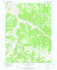
1966 · Copper Canyon
USGS Topo · 1:24,000
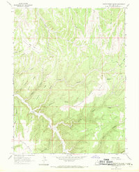
1966 · Burnt Timber Canyon
USGS Topo · 1:24,000
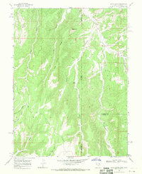
1966 · Davis Canyon
USGS Topo · 1:24,000