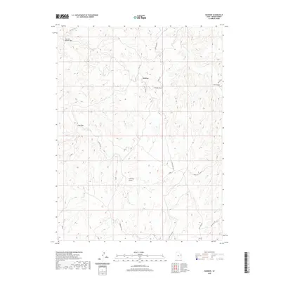
2020 Map of Rainbow
USGS Topo · Published 2020About this map
Rainbow sits at the center of this 2020 topographical study in Uintah County, where the high desert plateau is carved by an intricate network of drainages and canyons. The landscape is defined by its deep incisions, most notably East Seep Canyon and Three Mile Canyon, which snake through the area's complex relief. Notable high points like Thimble Rock provide landmarks above the winding paths of East Fork Asphalt Wash and Evacuation Cr.
Find a feature on this map
19 named features on this map. Tap any name to fly to it.
Don’t see what you’re looking for? This feature index may not catch every label — zoom into the map to look around manually.
Map Details
Editions of this 2020 Rainbow Map
This is the sole edition of this map. No revisions or reprints were ever made.
Other maps of this area

1885 · East Tavaputs
USGS Topo · 1:250,000

1956 · Grand Junction
USGS Topo · 1:250,000

1959 · Grand Junction
USGS Topo · 1:250,000

1960 · Grand Junction
USGS Topo · 1:250,000

1962 · Grand Junction
USGS Topo · 1:250,000

1964 · Grand Junction
USGS Topo · 1:250,000

1965 · Grand Junction
USGS Topo · 1:250,000
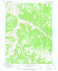
1966 · Copper Canyon
USGS Topo · 1:24,000
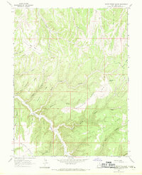
1966 · Burnt Timber Canyon
USGS Topo · 1:24,000
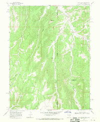
1966 · Davis Canyon
USGS Topo · 1:24,000