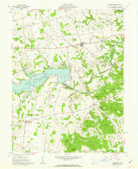
1961 Map of Rainsboro
USGS Topo · Published 1962About this map
Rocky Fork Lake State Park dominates the central landscape of this Highland County region, where the Rocky Fork was impounded to create a significant recreational waterway. The map documents a rural Ohio transition, showing the contrast between the established settlements like Rainsboro and Marshall and the developing leisure infrastructure at North Beach and South Beach. The area is particularly dense with milling history along the creek beds, preserved here through labels for Barretts Mill, McCoppin Mill, and Beaver Mill.
Find a feature on this map
64 named features on this map. Tap any name to fly to it.
Don’t see what you’re looking for? This feature index may not catch every label — zoom into the map to look around manually.
Map Details
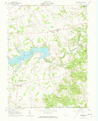
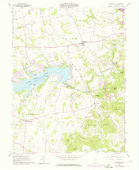
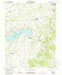
Editions of this 1961 Rainsboro Map
4 editions found
Other maps of this area

1915 · Bainbridge
USGS Topo · 1:48,000

1917 · Bainbridge
USGS Topo · 1:62,500

1917 · Greenfield
USGS Topo · 1:62,500

1917 · Hillsboro
USGS Topo · 1:62,500

1917 · Sabina
USGS Topo · 1:62,500

1943 · Sabina
USGS Topo · 1:62,500

1944 · Hillsboro
USGS Topo · 1:62,500

1944 · Greenfield
USGS Topo · 1:62,500

1947 · Columbus
USGS Topo · 1:250,000

1960 · Greenfield
USGS Topo · 1:24,000