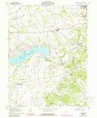
1961 Map of Rainsboro
USGS Topo · Published 1988About this map
Rocky Fork Lake and the smaller Paint Creek Lake dominate this portion of Highland County, reflecting a landscape transformed by water management and recreation in the early 1960s. The surrounding terrain is deeply etched by the Rocky Fork and its tributaries, where several historic mill sites remained documented at the time of this survey. Industrial and agricultural history is anchored by Barretts Mills, McCoppin Mill, and Beaver Mill, indicating a legacy of water-powered commerce along the creek banks.
Find a feature on this map
55 named features on this map. Tap any name to fly to it.
Don’t see what you’re looking for? This feature index may not catch every label — zoom into the map to look around manually.
Map Details
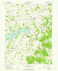
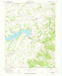
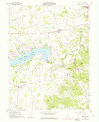
Editions of this 1961 Rainsboro Map
4 editions found
Other maps of this area

1915 · Bainbridge
USGS Topo · 1:48,000

1917 · Bainbridge
USGS Topo · 1:62,500

1917 · Greenfield
USGS Topo · 1:62,500

1917 · Hillsboro
USGS Topo · 1:62,500

1917 · Sabina
USGS Topo · 1:62,500

1943 · Sabina
USGS Topo · 1:62,500

1944 · Hillsboro
USGS Topo · 1:62,500

1944 · Greenfield
USGS Topo · 1:62,500

1947 · Columbus
USGS Topo · 1:250,000

1960 · Greenfield
USGS Topo · 1:24,000