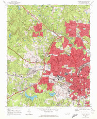
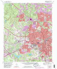
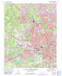
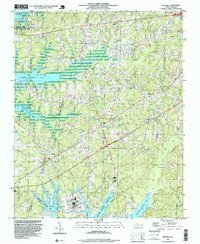
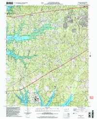
1968 Map of Raleigh West
USGS Topo · Published 1972This historical map portrays the area of Raleigh West in 1968, primarily covering Wake County. Featuring a scale of 1:24000, this map provides a highly detailed snapshot of the terrain, roads, buildings, counties, and historical landmarks in the Raleigh West region at the time. Published in 1972, it is one of 6 known editions of this map due to revisions or reprints.
Find a feature on this map
112 named features on this map. Tap any name to fly to it.
Don’t see what you’re looking for? This feature index may not catch every label — zoom into the map to look around manually.
Map Details
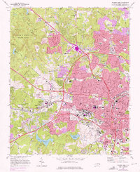
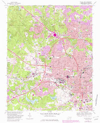
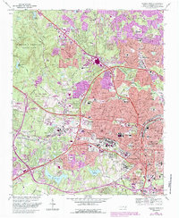
Editions of this 1968 Raleigh West Map
6 editions found
Historical Maps of Hidden Valley Through Time
13 maps found
1964 Lake Wheeler
Wake County, NC
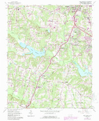
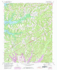
1967 Bayleaf
Wake County, NC
1968 Raleigh East
Wake County, NC
1968 Raleigh West
Wake County, NC
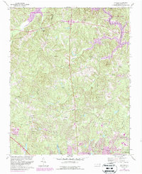
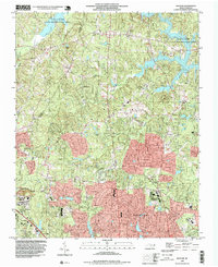
1974 New Hill
Wake County, NC
1993 Bayleaf
Wake County, NC
1993 Lake Wheeler
Wake County, NC
1993 New Hill
Wake County, NC
1993 Raleigh East
Wake County, NC
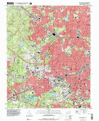
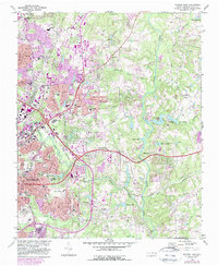
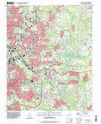
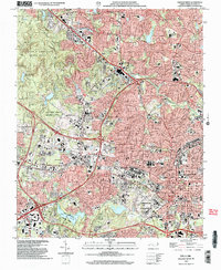
1993 Raleigh West
Wake County, NC
2002 Lake Wheeler
Wake County, NC
2002 New Hill
Wake County, NC
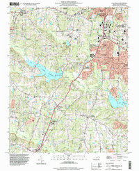
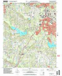
2002 Raleigh West
Wake County, NC