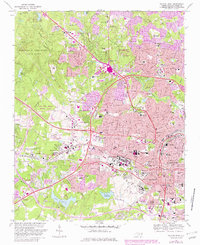
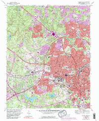
1968 Map of Raleigh West
USGS Topo · Published 1982About this map
North Carolina State University anchors the heart of this landscape, flanked by significant state institutions such as Central Prison and the expansive grounds of the Dorothea Dix State Hospital. To the west, the State Fairgrounds and Meredith College mark the transition toward the developing suburbs of Cary. The rail infrastructure is prominent, with the Seaboard Coast Line and Southern RR converging near the city center, which is punctuated by the State Capitol and the Governors Mansion.
Find a feature on this map
110 named features on this map. Tap any name to fly to it.
Don’t see what you’re looking for? This feature index may not catch every label — zoom into the map to look around manually.
Map Details
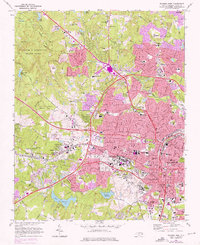
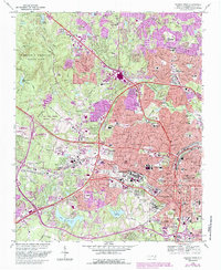
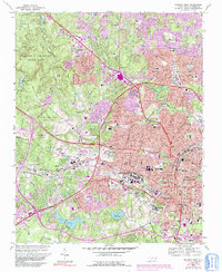
Editions of this 1968 Raleigh West Map
6 editions found

Other maps of this area

1943 · Durham South
USGS Topo · 1:62,500

1943 · Raleigh
USGS Topo · 1:62,500

1951 · Raleigh
USGS Topo · 1:62,500

1951 · Durham South
USGS Topo · 1:62,500

1953 · Raleigh
USGS Topo · 1:250,000

1954 · Raleigh
USGS Topo · 1:250,000

1964 · Lake Wheeler
USGS Topo · 1:24,000

1964 · Garner
USGS Topo · 1:24,000

1964 · Garner
USGS Topo · 1:62,500
1967 · Wake Forest
USGS Topo · 1:24,000