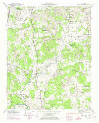
1947 Map of Rally Hill
USGS Topo · Published 1974About this map
The Duck River winds through the southern landscape of this mid-century survey, defining the topography near Jones Bend and Sharp Corner. This area of Middle Tennessee is characterized by a dense network of family-named cemeteries and rural institutions, reflecting a deeply rooted agricultural society. From the Derryberry Cem to the Riley-Harper Cem, the land is marked by generational legacies. Important local transit corridors like the Lewisburg Pike and Franklin Pike connect small crossroads communities such as Rally Hill and Pottsville. Educational and spiritual life centers on landmarks like the Lee Buckner Sch, Glean Chapel, and Mt Carmel Ch. Along Flat Creek and Pumpkin Creek, the map details a terrain of named hills and branches, including Ash Hill and Skinner Hill, where the boundaries of Williamson, Maury, and Marshall counties converge.
Find a feature on this map
85 named features on this map. Tap any name to fly to it.
Don’t see what you’re looking for? This feature index may not catch every label — zoom into the map to look around manually.
Map Details
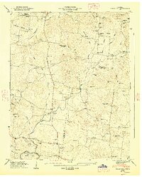
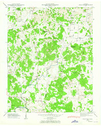
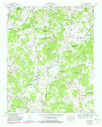
Editions of this 1947 Rally Hill Map
4 editions found
Other maps of this area

1909 · Franklin
USGS Topo · 1:62,500

1936 · Chapel Hill
USGS Topo · 1:24,000

1936 · Farmington
USGS Topo · 1:24,000

1936 · Verona
USGS Topo · 1:24,000

1936 · Rally Hill
USGS Topo · 1:24,000

1936 · Spring Hill
USGS Topo · 1:24,000

1936 · Carters Creek
USGS Topo · 1:24,000

1936 · Glendale
USGS Topo · 1:24,000

1936 · Bethesda
USGS Topo · 1:24,000

1941 · Carters Creek
USGS Topo · 1:24,000