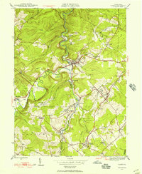
1945 Map of Ramey
USGS Topo · Published 1955About this map
Clearfield Creek winds through a landscape defined by its industrial and social hubs at the end of the Second World War. The area is heavily marked by the parallel infrastructure of the Pennsylvania and New York Central railroads, which served numerous small mining and timbering communities. Significant local hubs like Madera and Ramey are shown in detail, alongside smaller junctions such as Banian Junction and Hegarty Crossroads.
Find a feature on this map
54 named features on this map. Tap any name to fly to it.
Don’t see what you’re looking for? This feature index may not catch every label — zoom into the map to look around manually.
Map Details
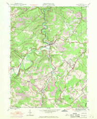
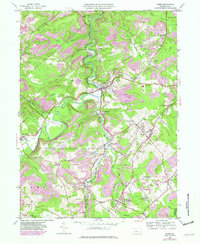
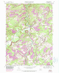
Editions of this 1945 Ramey Map
4 editions found
Other maps of this area

1902 · Patton
USGS Topo · 1:62,500

1903 · Curwensville
USGS Topo · 1:62,500

1903 · Houtzdale
USGS Topo · 1:62,500

1904 · Patton
USGS Topo · 1:62,500

1905 · Houtzdale
USGS Topo · 1:62,500

1920 · Altoona
USGS Topo · 1:62,500

1922 · Altoona
USGS Topo · 1:62,500

1939 · Curwensville
USGS Topo · 1:62,500

1942 · Curwensville
USGS Topo · 1:62,500

1943 · Punxsutawney
USGS Topo · 1:125,000