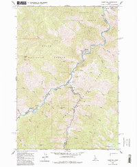
1962 Map of Ramey Hill
USGS Topo · Published 1983About this map
Hospital Hot Spring and the Cox Hot Springs emerge along the steep canyons of central Idaho, marking a landscape defined by thermal activity and the meeting of three national forests. This 1962 field-checked survey highlights a remote wilderness where the Middle Fork Salmon River serves as the primary corridor, joined by the significant flow of Loon Creek. The map documents a sparsely inhabited backcountry accessible primarily by water or trail, featuring isolated improvements like the Tappen Ranch and the Simplot Airstrip. Small riverine features like Hospital Bar and several backcountry river crossings, including the Lower Loon Creek Bridge and White Creek Bridge, show the limited but essential infrastructure maintained by the Salmon National Forest, Boise National Forest, and Challis National Forest.
Find a feature on this map
50 named features on this map. Tap any name to fly to it.
Don’t see what you’re looking for? This feature index may not catch every label — zoom into the map to look around manually.
Map Details
Editions of this 1962 Ramey Hill Map
3 editions found
Other maps of this area

1930 · Casto
USGS Topo · 1:125,000

1957 · Challis
USGS Topo · 1:250,000

1960 · Challis
USGS Topo · 1:250,000

1962 · Bear Creek Point
USGS Topo · 1:24,000

1962 · Norton Ridge
USGS Topo · 1:24,000

1962 · Shellrock Peak
USGS Topo · 1:24,000

1962 · Ramey Hill
USGS Topo · 1:24,000

1963 · Challis
USGS Topo · 1:250,000

1963 · Rock Creek
USGS Topo · 1:24,000
1963 · Aparejo Point
USGS Topo · 1:24,000