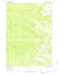
1968 Map of Rammel Mountain
USGS Topo · Published 1972About this map
Targhee National Forest defines the high-altitude landscape of this Wyoming-Idaho border region, where a complex network of pack trails serves as the primary infrastructure. The drainage system is dominated by the deeply carved canyons of Bitch Creek, including the North Bitch Creek and South Bitch Creek forks, which converge near the geological constriction of the Bitch Creek Narrows. Further south, the terrain rises toward the summit of Rammel Mountain and the high passage at Dead Horse Pass.
Find a feature on this map
36 named features on this map. Tap any name to fly to it.
Don’t see what you’re looking for? This feature index may not catch every label — zoom into the map to look around manually.
Map Details
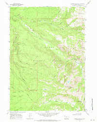
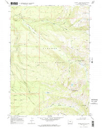
Editions of this 1968 Rammel Mountain Map
3 editions found
Other maps of this area

1886 · Shoshone
USGS Topo · 1:125,000

1888 · Shoshone
USGS Topo · 1:125,000

1895 · Shoshone
USGS Topo · 1:125,000

1899 · Grand Teton
USGS Topo · 1:125,000

1901 · Shoshone
USGS Topo · 1:125,000

1901 · Grand Teton
USGS Topo · 1:125,000

1908 · Shoshone
USGS Topo · 1:125,000

1911 · Shoshone
USGS Topo · 1:125,000

1955 · Ashton
USGS Topo · 1:250,000

1955 · Driggs
USGS Topo · 1:250,000