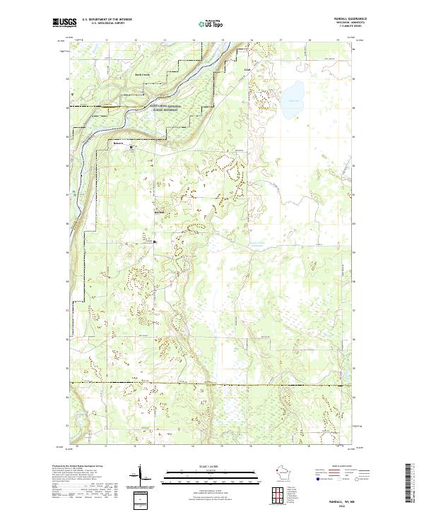
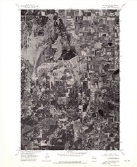
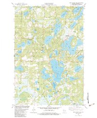
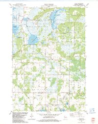
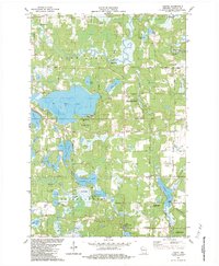
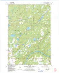
2022 Map of Randall
USGS Topo · Published 2022About this map
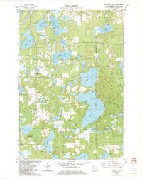
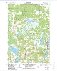
The Saint Croix National Scenic Riverway defines the western edge of this landscape, where the Saint Croix Wild and Scenic River forms a natural boundary between Wisconsin and Minnesota. This 2022 survey documents a largely rural area of Burnett County, characterized by a grid of agricultural land and scattered pockets of water such as Fish Lake and the County Trunk O'Flowage. Small, quiet settlements are distributed across the township lines, including Benson, Randall, and Rock Creek. Local history and family lineages are anchored at sites like Benson Cem and Pleasant Prairie Cem. The presence of numerous creeks, such as Cold Cr and Lagoo Cr, suggests a landscape historically defined by its drainage patterns and seasonal wetlands, while a network of rural roads like Co Rd O and Co Line Rd connects these isolated communities.
Find a feature on this map
51 named features on this map. Tap any name to fly to it.
Don’t see what you’re looking for? This feature index may not catch every label — zoom into the map to look around manually.
Map Details
Editions of this 2022 Randall Map
This is the sole edition of this map. No revisions or reprints were ever made.
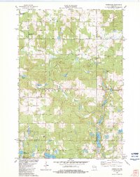
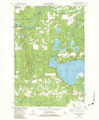
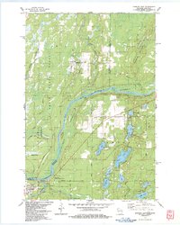
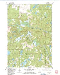
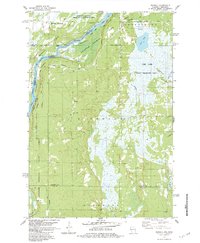
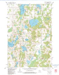
Historical Maps of Benson Through Time
40 maps found

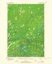
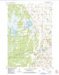
1949 Hertel
Burnett County, WI

1949 Webb Lake
Burnett County, WI
1955 Hertel
Burnett County, WI
1955 Webb Lake
Burnett County, WI
1974 Milltown NE
Burnett County, WI
1974 Milltown NW
Burnett County, WI
1982 Birch Island Lake
Burnett County, WI
1982 Falun
Burnett County, WI
1982 Hertel
Burnett County, WI
1982 Mc Kenzie Lake
Burnett County, WI
1982 Monson Lake
Burnett County, WI
1982 Poquettes Lake
Burnett County, WI
1982 Siren East
Burnett County, WI
1982 Siren West
Burnett County, WI
1982 Timberland
Burnett County, WI
1982 Yellow Lake
Burnett County, WI
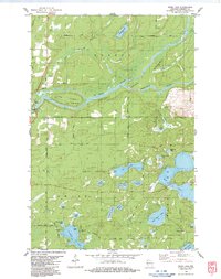
1983 Danbury East
Burnett County, WI
1983 Danbury West
Burnett County, WI
1983 Frog Lake
Burnett County, WI
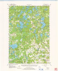
1983 Randall
Burnett County, WI
1983 Trade Lake
Burnett County, WI
1983 Trade River
Burnett County, WI
1983 Webb Lake
Burnett County, WI
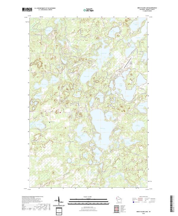
2022 Birch Island Lake
Burnett County, WI
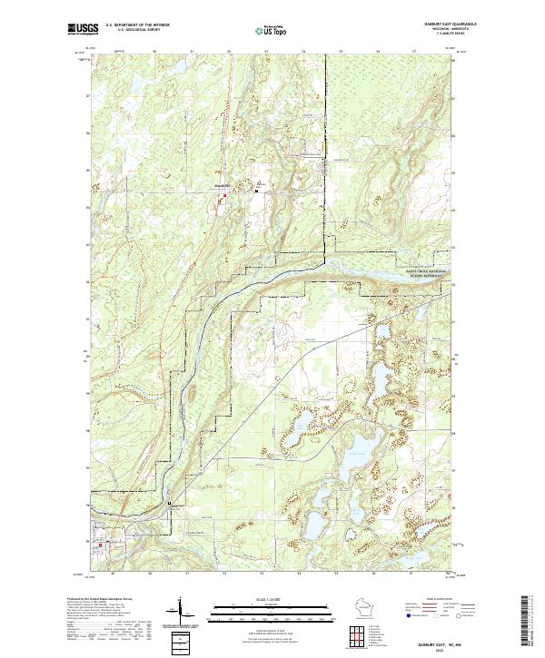
2022 Danbury East
Burnett County, WI
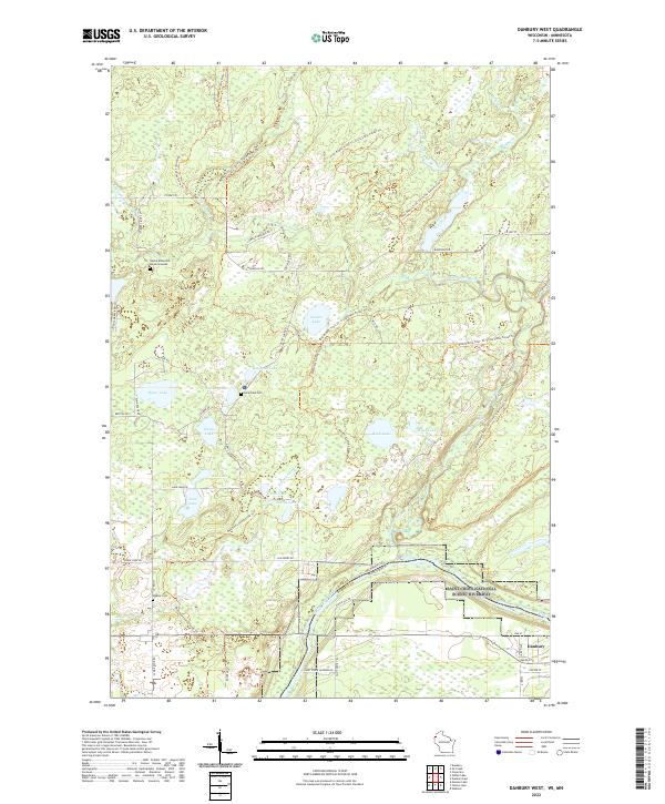
2022 Danbury West
Burnett County, WI
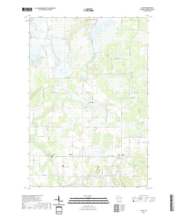
2022 Falun
Burnett County, WI
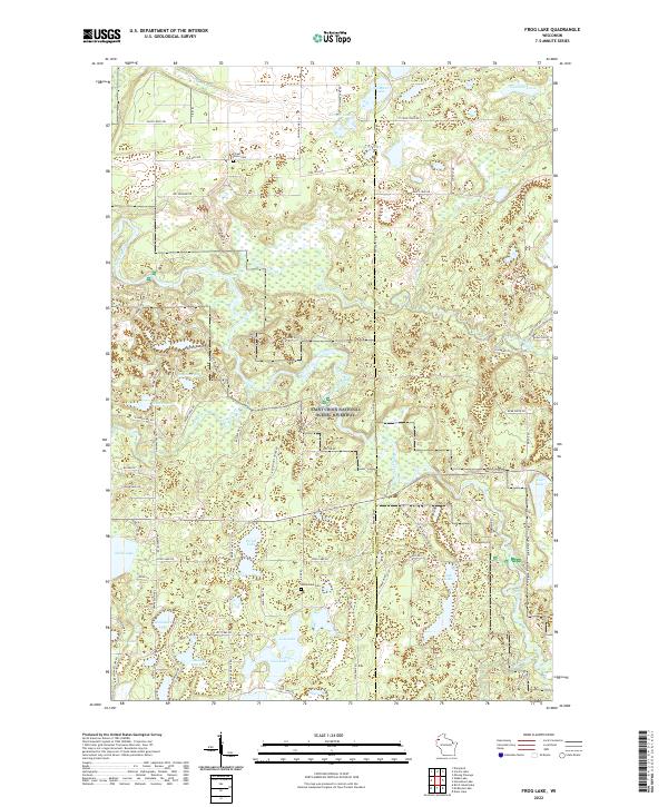
2022 Frog Lake
Burnett County, WI
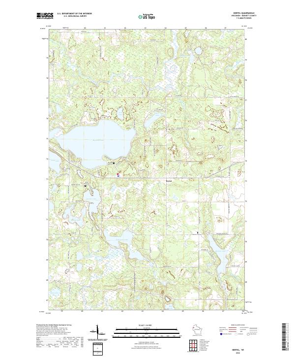
2022 Hertel
Burnett County, WI
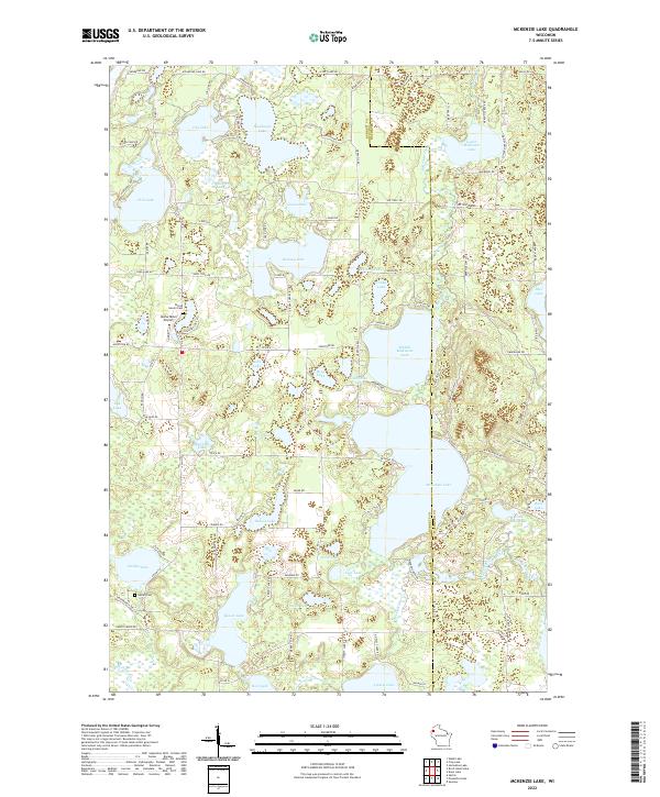
2022 McKenzie Lake
Burnett County, WI
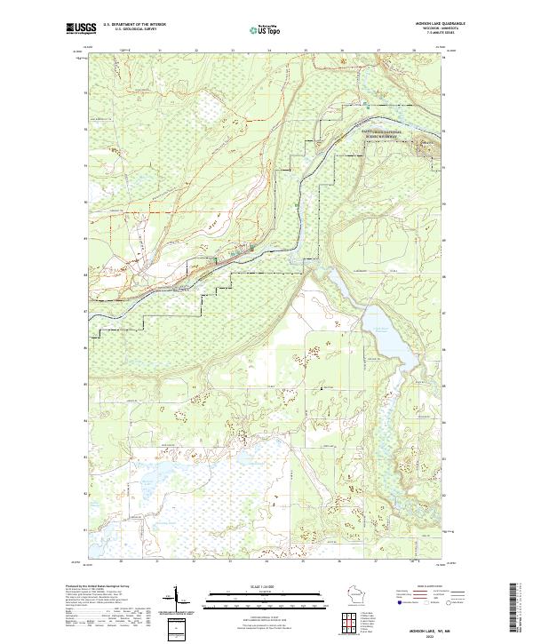
2022 Monson Lake
Burnett County, WI
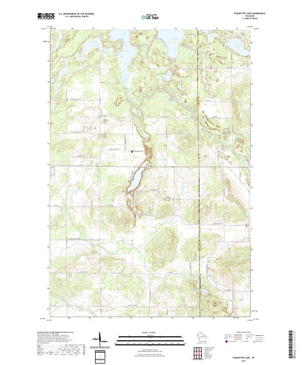
2022 Poquettes Lake
Burnett County, WI
2022 Randall
Burnett County, WI
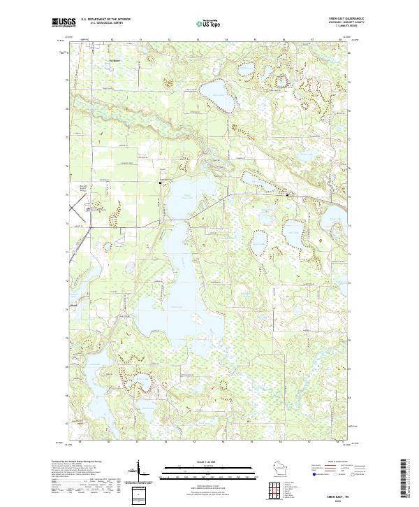
2022 Siren East
Burnett County, WI
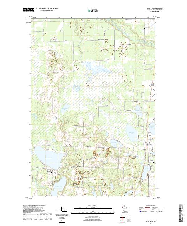
2022 Siren West
Burnett County, WI
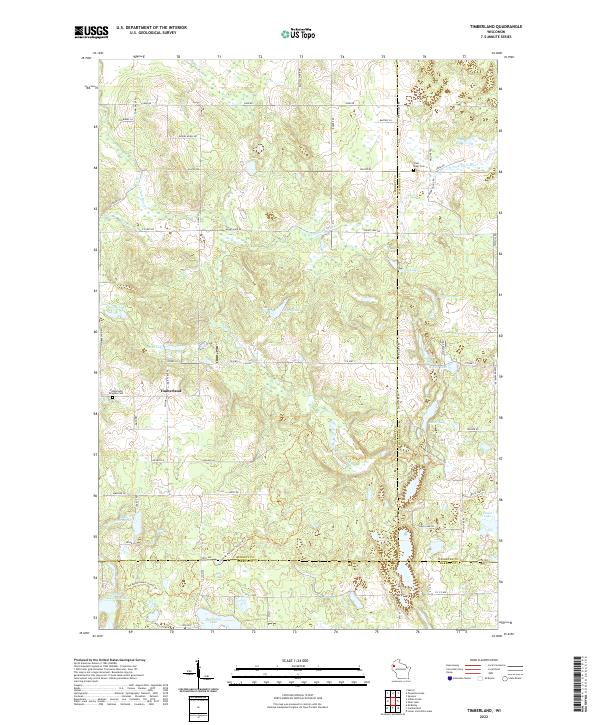
2022 Timberland
Burnett County, WI
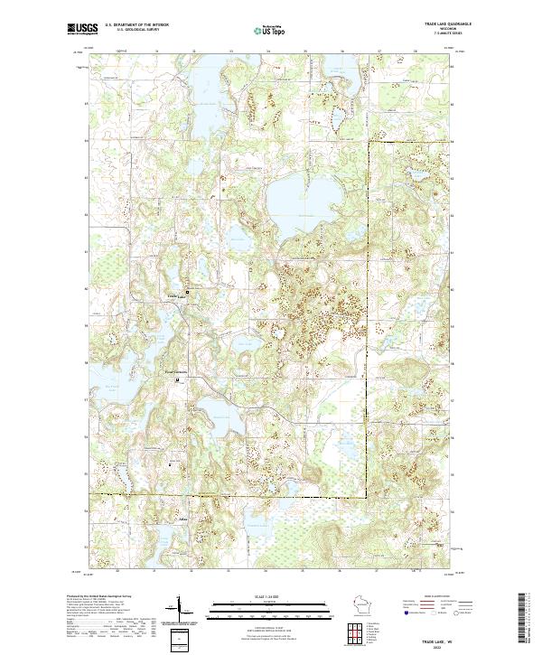
2022 Trade Lake
Burnett County, WI
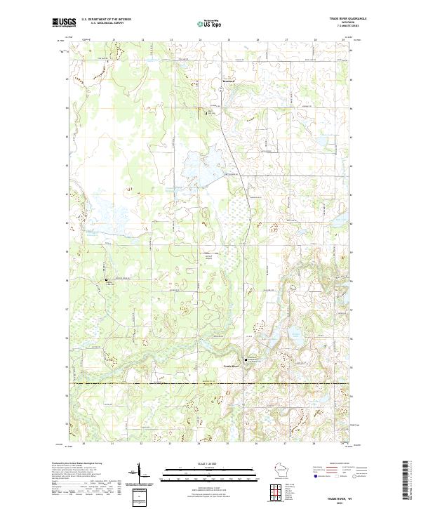
2022 Trade River
Burnett County, WI
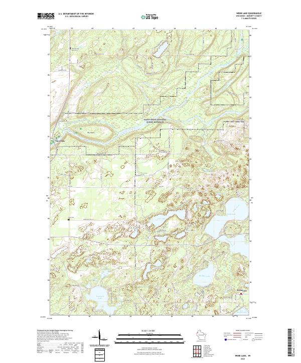
2022 Webb Lake
Burnett County, WI
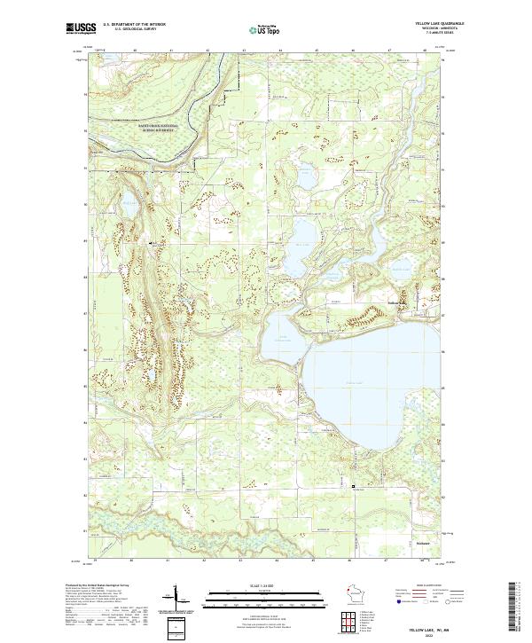
2022 Yellow Lake
Burnett County, WI