2022 Map of Randlett
USGS Topo · Published 2022About this map
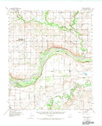
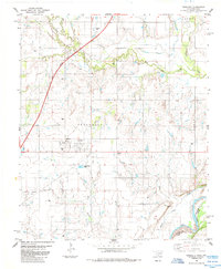
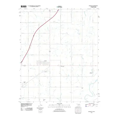
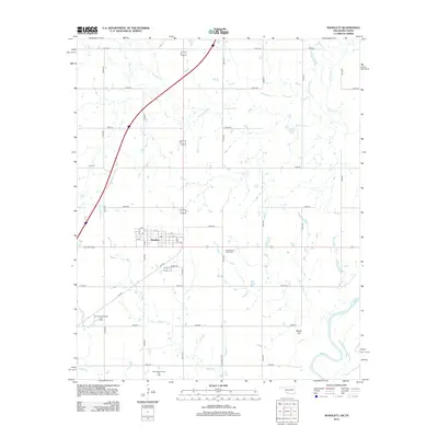
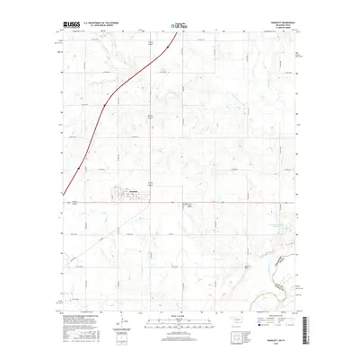
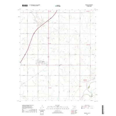
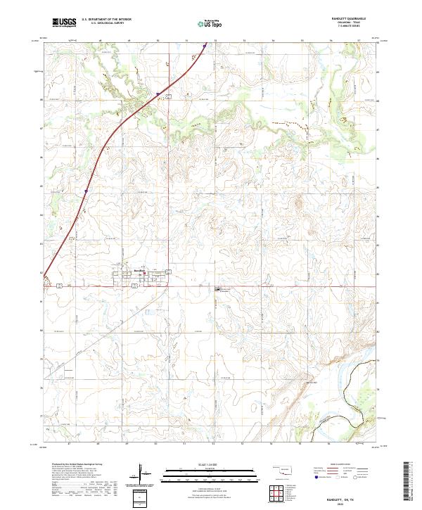
Randlett serves as the primary settlement on this Cotton County landscape, organized along a grid of streets from A Ave to F Ave and 6th St to 12th St. The town is positioned just north of the border between Oklahoma and Texas, where the Red River defines the state line. The surrounding terrain is shaped by the drainage patterns of Deep Red Cr and Rabbit Cr, which cut through the agricultural sections and converge toward the river valley in the south. This area, located within the historic big pasture region, maintains its rural character with family and community landmarks like the Fairview Cem of Randlett. The inclusion of Martin Hill and the precise township and range boundaries, such as t4s r12w, provide essential context for researchers tracing land ownership and early 21st-century Oklahoma geography.
Find a feature on this map
46 named features on this map. Tap any name to fly to it.
Don’t see what you’re looking for? This feature index may not catch every label — zoom into the map to look around manually.
Map Details
Editions of this 2022 Randlett Map
This is the sole edition of this map. No revisions or reprints were ever made.
Historical Maps of Randlett Through Time
7 maps found