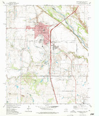
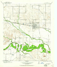
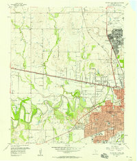
1972 Map of Burkburnett
USGS Topo · Published 1975About this map
Burkburnett emerges as a significant regional hub in the early 1970s, defined by its position along the Missouri Kansas Texas railroad line and its proximity to the Red River. The town layout shows a maturing community with established institutions like Hardin Sch and Southside Sch, alongside recreational spaces such as Tidal Park and Freeman Park. The landscape is heavily marked by the petroleum industry, with numerous Oil Wells scattered across the surrounding plains, particularly to the west of the main settlement.
Find a feature on this map
39 named features on this map. Tap any name to fly to it.
Don’t see what you’re looking for? This feature index may not catch every label — zoom into the map to look around manually.
Map Details
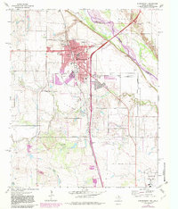
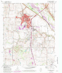
Editions of this 1972 Burkburnett Map
3 editions found
Other maps of this area

1915 · Clara
USGS Topo · 1:24,000
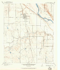
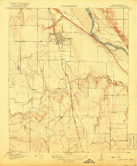
1915 · Burkburnett
USGS Topo · 1:24,000
1916 · Iowa Park
USGS Topo · 1:24,000
1918 · Buckburnett
USGS Topo · 1:31,680
1918 · Clara
USGS Topo · 1:31,680
1918 · Iowa Park
USGS Topo · 1:31,680

1954 · Wichita Falls
USGS Topo · 1:250,000

1955 · Lawton
USGS Topo · 1:250,000
1957 · Wichita Falls West
USGS Topo · 1:24,000
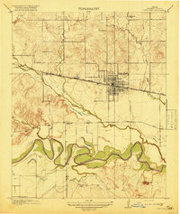
1957 · Burkburnett
USGS Topo · 1:62,500