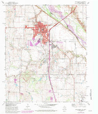
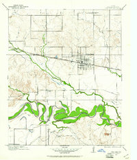
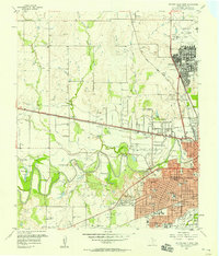
1972 Map of Burkburnett
USGS Topo · Published 1983About this map
Burkburnett serves as the focal point for this survey of the Texas-Oklahoma borderlands, where the Red River defines the state boundary. The landscape is heavily marked by the energy and defense industries of the mid-20th century, characterized by numerous oil wells and the northern reaches of Sheppard Air Force Base. The town's growth is evident through its educational infrastructure, including Hardin Sch and Southside Sch, while the Missouri Kansas Texas railroad line provides the primary industrial corridor through the center of the district.
Find a feature on this map
32 named features on this map. Tap any name to fly to it.
Don’t see what you’re looking for? This feature index may not catch every label — zoom into the map to look around manually.
Map Details
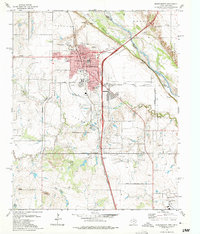
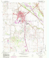
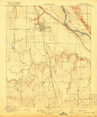
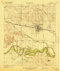
Editions of this 1972 Burkburnett Map
3 editions found
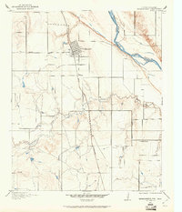
Other maps of this area

1915 · Clara
USGS Topo · 1:24,000
1915 · Burkburnett
USGS Topo · 1:24,000
1916 · Iowa Park
USGS Topo · 1:24,000
1918 · Buckburnett
USGS Topo · 1:31,680
1918 · Clara
USGS Topo · 1:31,680
1918 · Iowa Park
USGS Topo · 1:31,680

1954 · Wichita Falls
USGS Topo · 1:250,000

1955 · Lawton
USGS Topo · 1:250,000
1957 · Wichita Falls West
USGS Topo · 1:24,000
1957 · Burkburnett
USGS Topo · 1:62,500