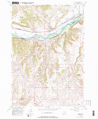
1956 Map of Rapids
USGS Topo · Published 1976About this map
The Yellowstone River serves as the primary corridor of transport and irrigation in this 1950s landscape, flanked by the Northern Pacific railroad. The waterway is punctuated by landforms like Westover Island and bounded by steep terrain such as Wolf Canyon to the south. Small-scale agricultural and ranching infrastructure is evident through the presence of the Cove Ditch and a Gravel Pit near Wimsett Point. Rural life in this corner of Montana is anchored by local education landmarks, specifically the Cow Creek Sch and the Monahan Sch situated in the southern sections. This map records the transition from the river valley’s industrial rail lines to the winding drainages of Cole Creek and Cow Creek in the uplands.
Find a feature on this map
21 named features on this map. Tap any name to fly to it.
Don’t see what you’re looking for? This feature index may not catch every label — zoom into the map to look around manually.
Map Details
Editions of this 1956 Rapids Map
2 editions found
Other maps of this area

1892 · Stillwater
USGS Topo · 1:125,000

1932 · Red Lodge No 1
USGS Topo · 1:48,000

1954 · Billings
USGS Topo · 1:250,000

1956 · Shane Ridge
USGS Topo · 1:24,000

1956 · Horse Butte
USGS Topo · 1:24,000

1956 · Columbus East
USGS Topo · 1:24,000

1956 · Fromberg
USGS Topo · 1:24,000

1956 · Rapids
USGS Topo · 1:24,000
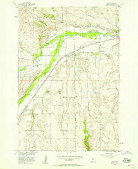
1956 · Boyd
USGS Topo · 1:24,000

1956 · Park City
USGS Topo · 1:24,000