
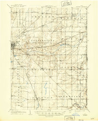
1908 Map of Ravenna
USGS Topo · Published 1946About this map
Ravenna serves as the regional hub for eastern Portage County in the years following the turn of the century, where the Erie RR and the Baltimore And Ohio RR intersect. This survey illustrates a landscape dominated by township boundaries and rural education, with several family-named and community schools such as Whippoorwill School and Lime Ridge School serving the agricultural population. The Mahoning River and its West Branch carve through the southern townships, providing a natural framework for early industry and settlement near Deerfield and Palmyra.
Find a feature on this map
65 named features on this map. Tap any name to fly to it.
Don’t see what you’re looking for? This feature index may not catch every label — zoom into the map to look around manually.
Map Details
Editions of this 1908 Ravenna Map
2 editions found
Other maps of this area

1901 · Canton
USGS Topo · 1:62,500

1903 · Canton
USGS Topo · 1:62,500

1905 · Bristolville
USGS Topo · 1:62,500

1905 · Garrettsville
USGS Topo · 1:62,500

1906 · Kent
USGS Topo · 1:62,500

1906 · Chagrin Falls
USGS Topo · 1:62,500

1906 · Ravenna
USGS Topo · 1:62,500

1907 · Bristolville
USGS Topo · 1:62,500

1907 · Garrettsville
USGS Topo · 1:62,500

1908 · Warren
USGS Topo · 1:62,500