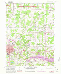
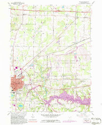
1960 Map of Ravenna
USGS Topo · Published 1981About this map
The Ravenna Arsenal U S Military Reservation dominates the eastern landscape of this 1960 survey, a massive government footprint that transitions into the industrial and residential core of Ravenna. In the city center, a network of social and civic infrastructure is visible, including the Courthouse, High Sch, and Maple Grove Cem. The southern reach of the map shows the emerging Michael J Kirwan Reservoir on the West Branch Mahoning River, a significant hydrological change near the small settlement of Campbellsport.
Find a feature on this map
48 named features on this map. Tap any name to fly to it.
Don’t see what you’re looking for? This feature index may not catch every label — zoom into the map to look around manually.
Map Details
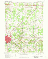
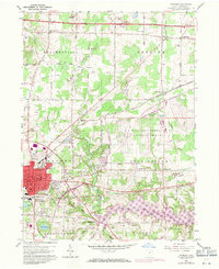
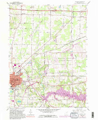
Editions of this 1960 Ravenna Map
5 editions found
Other maps of this area

1905 · Garrettsville
USGS Topo · 1:62,500

1906 · Kent
USGS Topo · 1:62,500

1906 · Chagrin Falls
USGS Topo · 1:62,500

1906 · Ravenna
USGS Topo · 1:62,500

1907 · Garrettsville
USGS Topo · 1:62,500

1908 · Chagrin Falls
USGS Topo · 1:62,500

1908 · Ravenna
USGS Topo · 1:62,500

1950 · Cleveland
USGS Topo · 1:250,000

1953 · Aurora
USGS Topo · 1:24,000

1956 · Cleveland
USGS Topo · 1:250,000