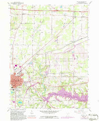
1960 Map of Ravenna
USGS Topo · Published 1986About this map
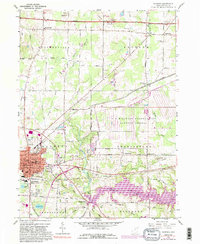
The city of Ravenna serves as a dense hub of civic and educational life on this map, showing several specialized structures including the Courthouse, High Sch, and Highland Sch. To the east, the landscape transitions into the expansive U S Military Reservation Ravenna Arsenal, a significant Cold War era installation that dominates the central portion of the quadrangle. The southern region is defined by the creation of the Michael J Kirwan Reservoir along the Mahoning River, a major water management project that altered the local topography.
Find a feature on this map
58 named features on this map. Tap any name to fly to it.
Don’t see what you’re looking for? This feature index may not catch every label — zoom into the map to look around manually.
Map Details
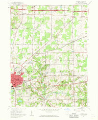
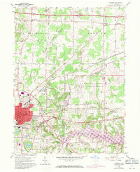
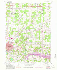
Editions of this 1960 Ravenna Map
5 editions found
Other maps of this area

1905 · Garrettsville
USGS Topo · 1:62,500

1906 · Kent
USGS Topo · 1:62,500

1906 · Chagrin Falls
USGS Topo · 1:62,500

1906 · Ravenna
USGS Topo · 1:62,500

1907 · Garrettsville
USGS Topo · 1:62,500

1908 · Chagrin Falls
USGS Topo · 1:62,500

1908 · Ravenna
USGS Topo · 1:62,500

1950 · Cleveland
USGS Topo · 1:250,000

1953 · Aurora
USGS Topo · 1:24,000

1956 · Cleveland
USGS Topo · 1:250,000