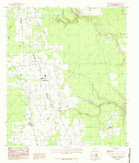
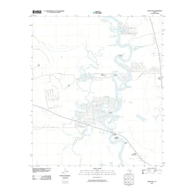
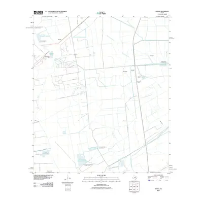
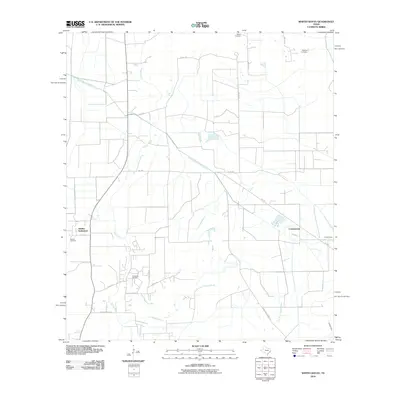
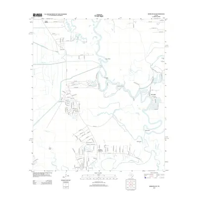
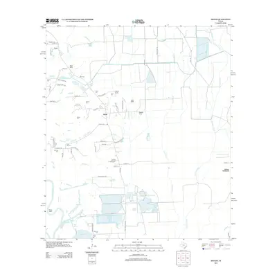
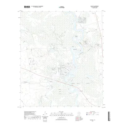
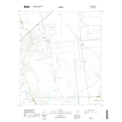
1955 Map of Rayburn
USGS Topo · Published 1967About this map
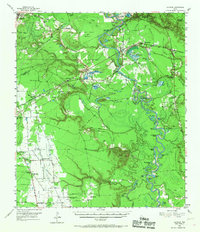
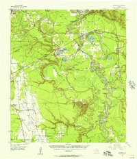
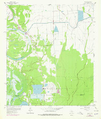
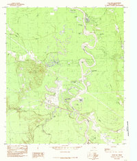
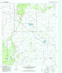
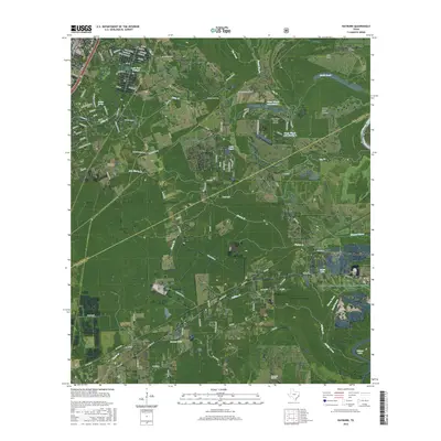
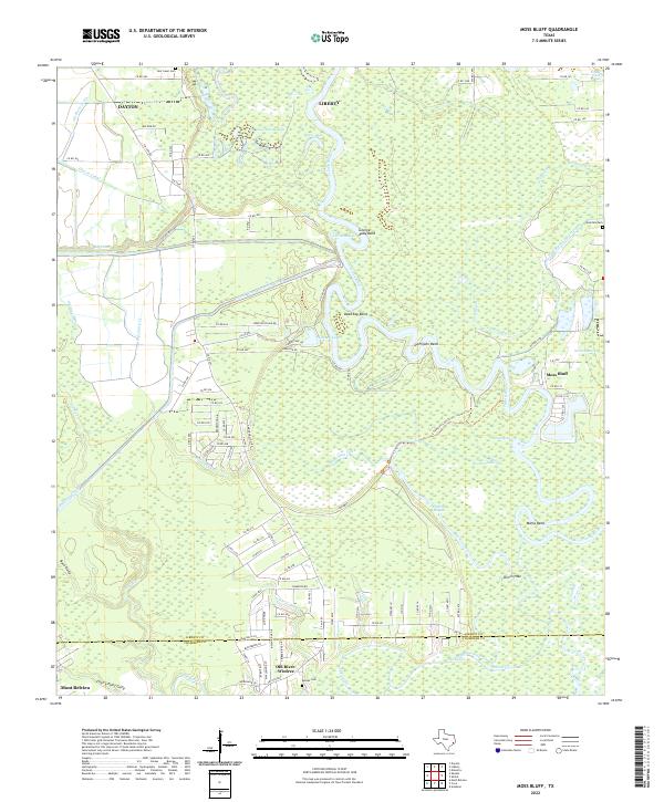
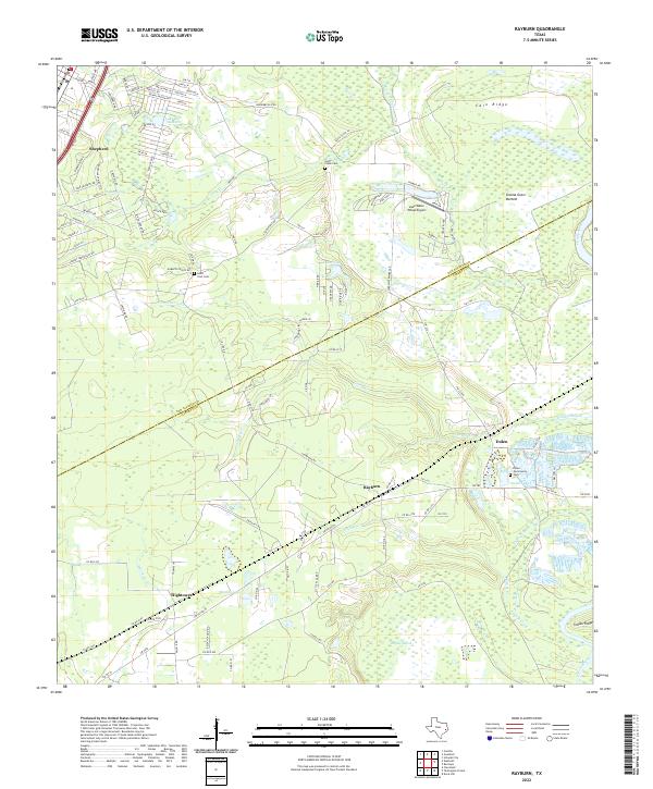
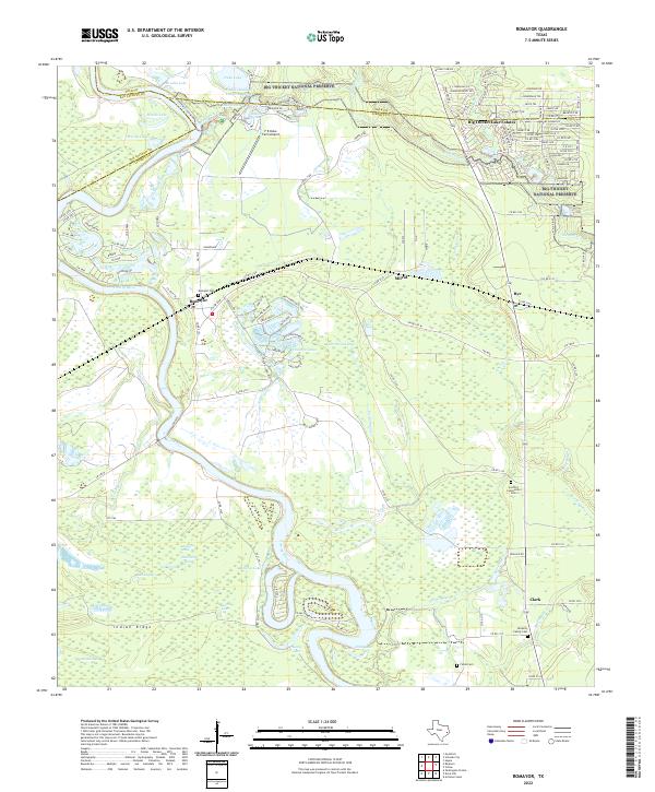
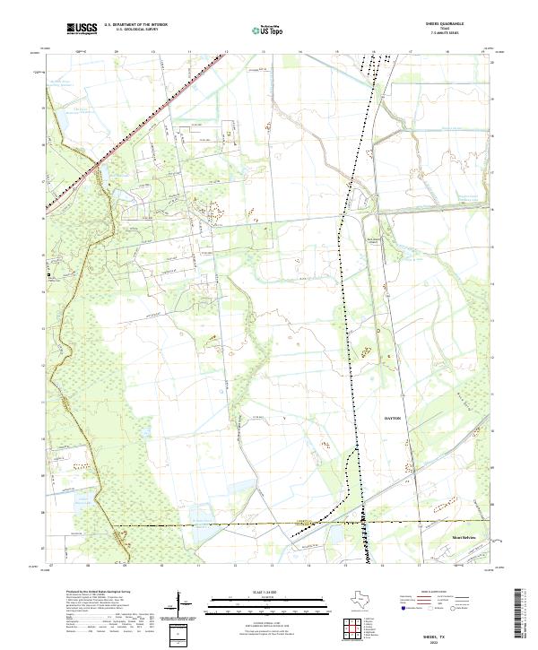
The Trinity River snakes through the heart of this East Texas survey, defining a landscape of deep river bends and oxbow lakes such as Sevenmile Bend and Hanners Bend Lake. To the west, the Tarkington Prairie region stands in contrast to the dense bottomlands, containing several community anchors like the Prairie Missionary Church and the site of the Tarkington Prairie School (Historical Ruins). The Gulf Colorado and Santa Fe railroad serves as the primary industrial corridor, connecting settlements like Dolen and Hightower through the heavily wooded terrain. Local life is mapped through numerous country churches and cemeteries, from Magnolia Grove Church in the north to the Faith Tabernacle further south. Unique topography such as Davis Hill and the Grama Grass Bottom provides a clear view of the natural features that shaped early settlement patterns in Liberty and San Jacinto counties.
Find a feature on this map
78 named features on this map. Tap any name to fly to it.
Don’t see what you’re looking for? This feature index may not catch every label — zoom into the map to look around manually.
Map Details
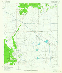
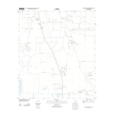
Editions of this 1955 Rayburn Map
2 editions found
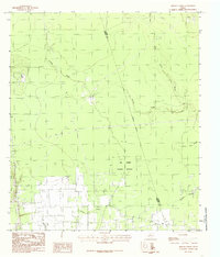
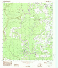
Historical Maps of Shepherd Through Time
74 maps found
1943 Whites Bayou
Liberty County, TX
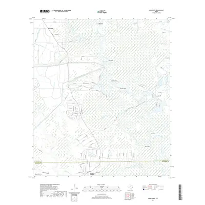
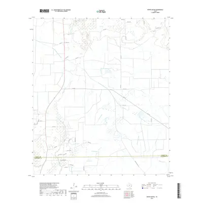
1955 Rayburn
Liberty County, TX
1961 Moss Bluff
Liberty County, TX

1961 Sheeks
Liberty County, TX
1961 Shiloh
Liberty County, TX
1961 Whites Bayou
Liberty County, TX

1982 Sheeks
Liberty County, TX
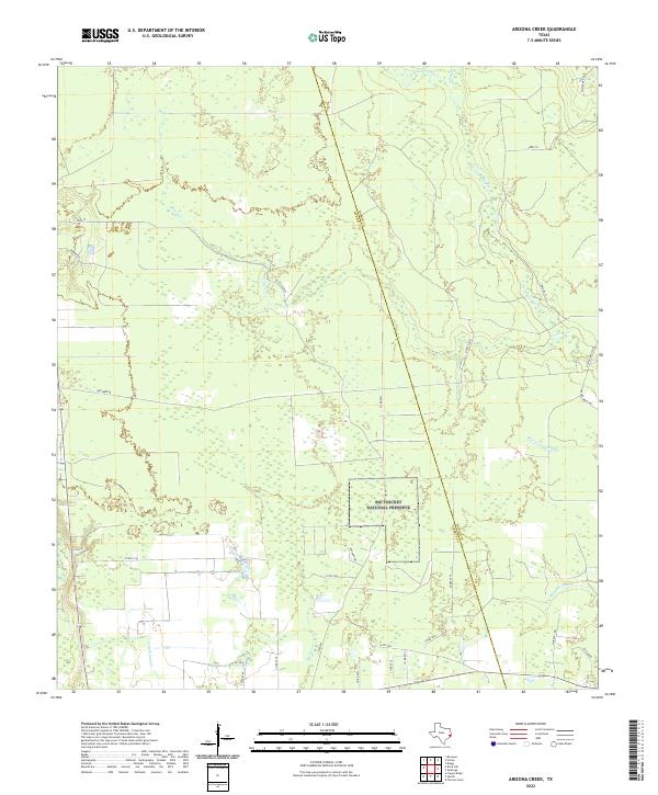
1984 Arizona Creek
Liberty County, TX
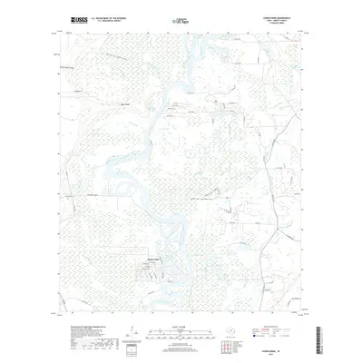
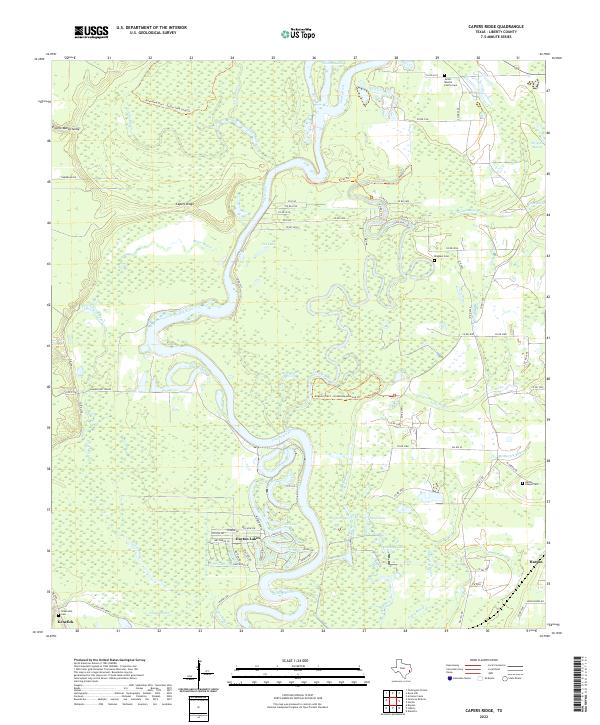
1984 Capers Ridge
Liberty County, TX
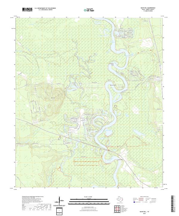
1984 Davis Hill
Liberty County, TX
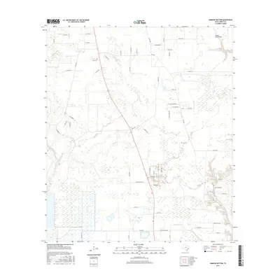
1984 Rayburn
Liberty County, TX
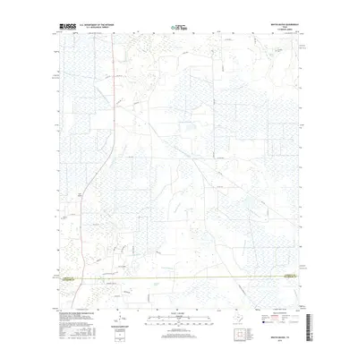
1984 Romayor
Liberty County, TX
1984 Simmons Bottom
Liberty County, TX
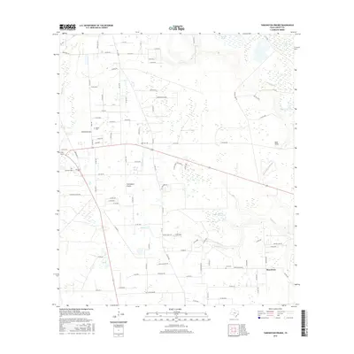
1984 Tarkington Prairie
Liberty County, TX
1993 Moss Bluff
Liberty County, TX
1993 Sheeks
Liberty County, TX
1993 Shiloh
Liberty County, TX
1994 Whites Bayou
Liberty County, TX
1997 Rayburn
Liberty County, TX
2010 Arizona Creek
Liberty County, TX
2010 Capers Ridge
Liberty County, TX
2010 Davis Hill
Liberty County, TX
2010 Moss Bluff
Liberty County, TX
2010 Rayburn
Liberty County, TX
2010 Romayor
Liberty County, TX
2010 Sheeks
Liberty County, TX
2010 Shiloh
Liberty County, TX
2010 Simmons Bottom
Liberty County, TX
2010 Tarkington Prairie
Liberty County, TX
2010 Whites Bayou
Liberty County, TX
2013 Arizona Creek
Liberty County, TX
2013 Capers Ridge
Liberty County, TX
2013 Davis Hill
Liberty County, TX
2013 Moss Bluff
Liberty County, TX
2013 Rayburn
Liberty County, TX
2013 Romayor
Liberty County, TX
2013 Sheeks
Liberty County, TX
2013 Shiloh
Liberty County, TX
2013 Simmons Bottom
Liberty County, TX
2013 Tarkington Prairie
Liberty County, TX
2013 Whites Bayou
Liberty County, TX
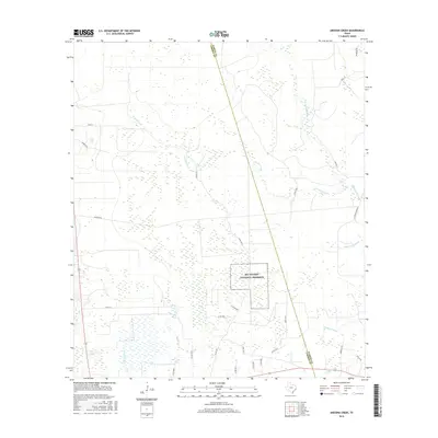
2016 Arizona Creek
Liberty County, TX
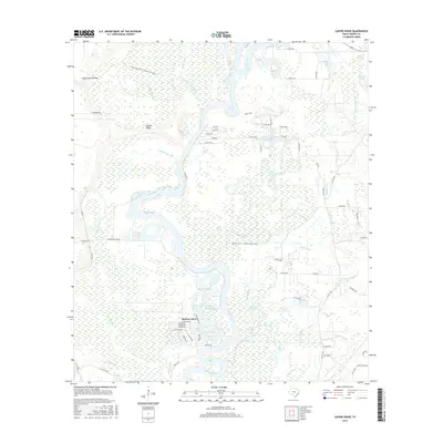
2016 Capers Ridge
Liberty County, TX
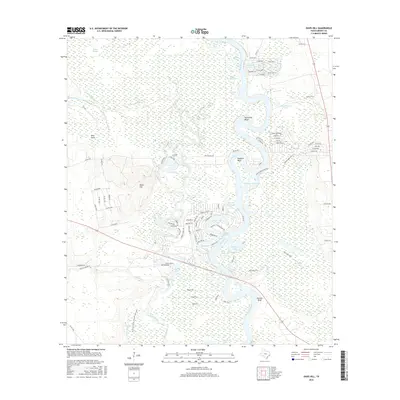
2016 Davis Hill
Liberty County, TX
2016 Moss Bluff
Liberty County, TX
2016 Rayburn
Liberty County, TX
2016 Romayor
Liberty County, TX
2016 Sheeks
Liberty County, TX
2016 Shiloh
Liberty County, TX
2016 Simmons Bottom
Liberty County, TX
2016 Tarkington Prairie
Liberty County, TX
2016 Whites Bayou
Liberty County, TX

2019 Arizona Creek
Liberty County, TX
2019 Capers Ridge
Liberty County, TX
2019 Davis Hill
Liberty County, TX
2019 Moss Bluff
Liberty County, TX
2019 Rayburn
Liberty County, TX
2019 Romayor
Liberty County, TX
2019 Sheeks
Liberty County, TX
2019 Shiloh
Liberty County, TX
2019 Simmons Bottom
Liberty County, TX
2019 Tarkington Prairie
Liberty County, TX
2019 Whites Bayou
Liberty County, TX
2022 Arizona Creek
Liberty County, TX
2022 Capers Ridge
Liberty County, TX
2022 Davis Hill
Liberty County, TX
2022 Moss Bluff
Liberty County, TX
2022 Rayburn
Liberty County, TX
2022 Romayor
Liberty County, TX
2022 Sheeks
Liberty County, TX
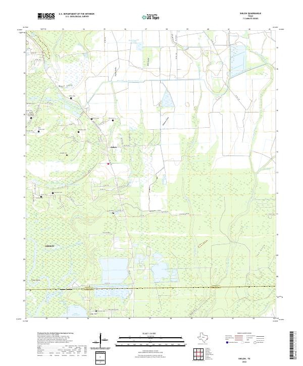
2022 Shiloh
Liberty County, TX
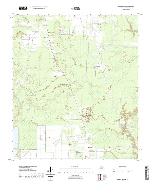
2022 Simmons Bottom
Liberty County, TX
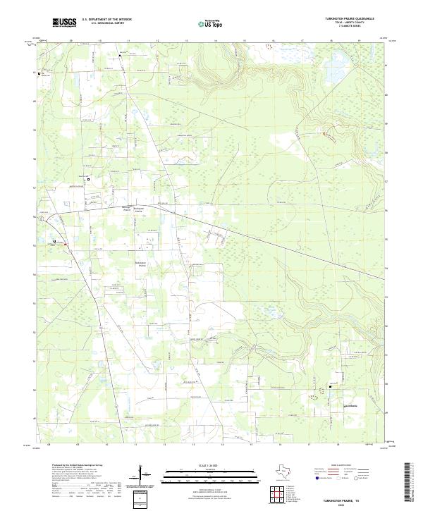
2022 Tarkington Prairie
Liberty County, TX
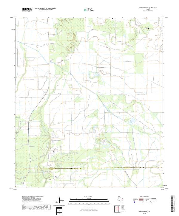
2022 Whites Bayou
Liberty County, TX