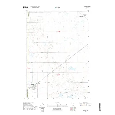
2019 Map of Raymond
USGS Topo · Published 2019About this map
Raymond serves as the primary hub of this landscape, situated along a prominent transportation corridor in western Minnesota. This survey captures the layout of the town's grid, including Spicer Ave and Cofield St S, alongside local landmarks like Fairview Cem and Saint John's Lutheran Cem. To the northeast, the outskirts of Willmar are visible, including the Willmar Municipal Airport-John L Rice Field, marking the area's modern infrastructure and its connection to the wider region.
Find a feature on this map
44 named features on this map. Tap any name to fly to it.
Don’t see what you’re looking for? This feature index may not catch every label — zoom into the map to look around manually.
Map Details
Editions of this 2019 Raymond Map
This is the sole edition of this map. No revisions or reprints were ever made.
Other maps of this area

1953 · New Ulm
USGS Topo · 1:250,000

1953 · Saint Cloud
USGS Topo · 1:250,000

1957 · Saint Cloud
USGS Topo · 1:250,000

1957 · New Ulm
USGS Topo · 1:250,000

1958 · New Ulm
USGS Topo · 1:250,000

1958 · Saint Cloud
USGS Topo · 1:250,000

1958 · Kerkhoven SE
USGS Topo · 1:24,000

1958 · Kerkhoven
USGS Topo · 1:24,000

1958 · Raymond
USGS Topo · 1:24,000

1958 · Pennock
USGS Topo · 1:24,000