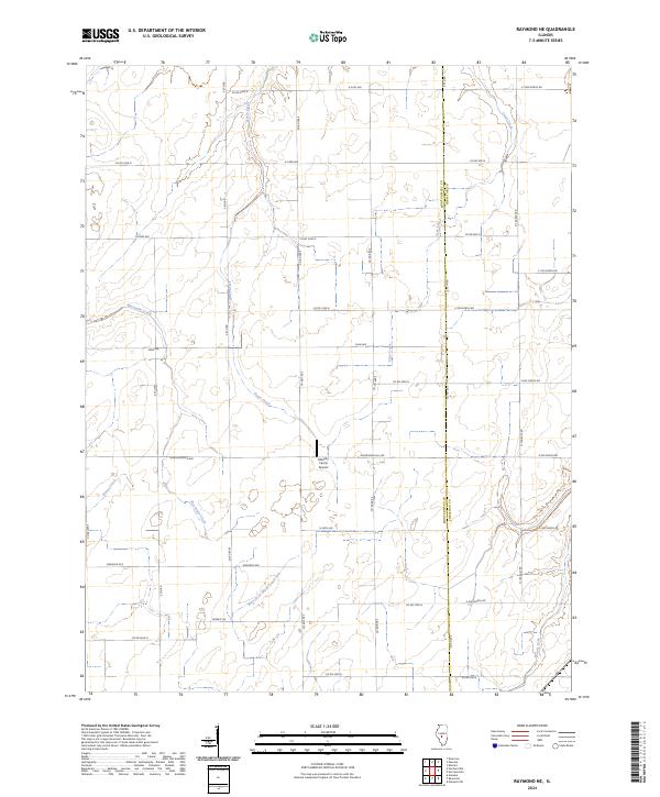
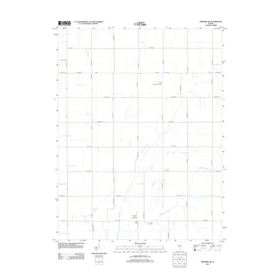
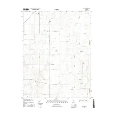
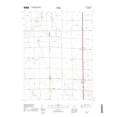
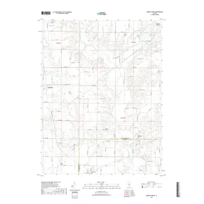
2024 Map of Raymond NE
USGS Topo · Published 2024About this map
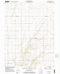
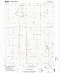
The agricultural divide between Montgomery and Christian counties is meticulously documented in this contemporary survey of the Illinois prairie. The landscape is defined by its drainage network, where the headwaters of Macoupin Creek and Horse Creek begin their winding courses across the section lines. This rural expanse is dominated by a strict grid of county roads, including the aptly named Grainleg Ave and Mine Ave, which reflect the region's deep-rooted ties to farming and resource extraction.
Find a feature on this map
42 named features on this map. Tap any name to fly to it.
Don’t see what you’re looking for? This feature index may not catch every label — zoom into the map to look around manually.
Map Details
Editions of this 2024 Raymond NE Map
This is the sole edition of this map. No revisions or reprints were ever made.
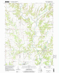
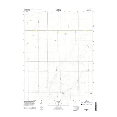
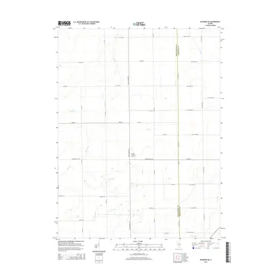
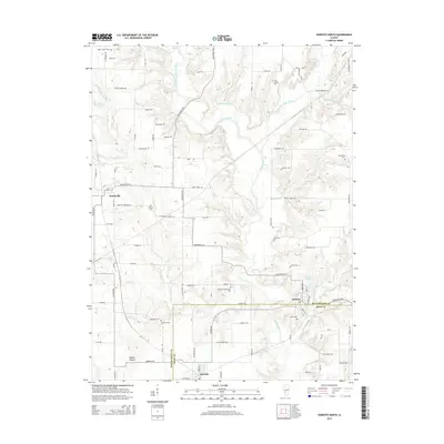
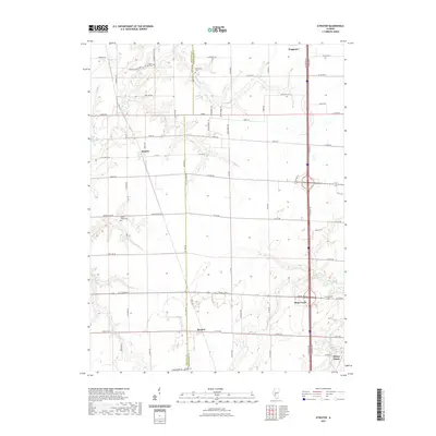
Historical Maps of Christian County Through Time
34 maps found
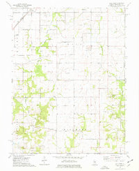
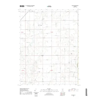
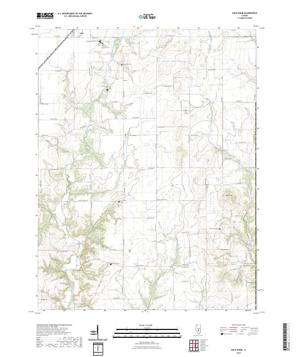
1974 Bald Knob
Montgomery County, IL
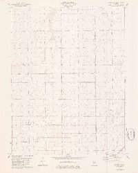
1974 Sorento North
Montgomery County, IL
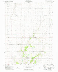
1979 Raymond NE
Montgomery County, IL
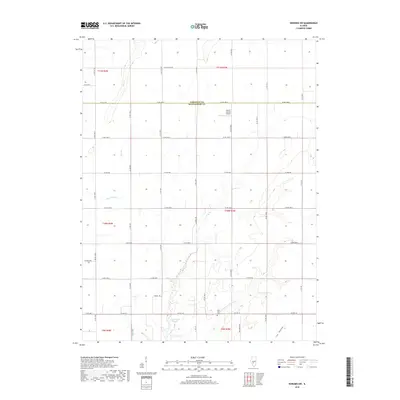
1980 Nokomis SW
Montgomery County, IL
1998 Bald Knob
Montgomery County, IL
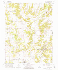
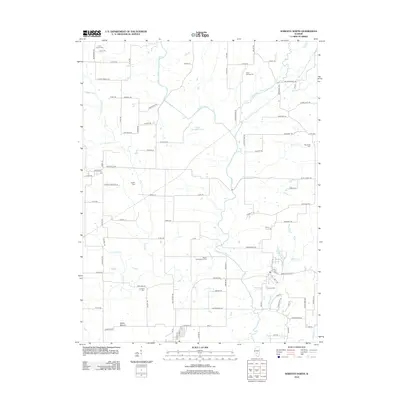
1998 Coffeenn
Montgomery County, IL
1998 Nokomis SW
Montgomery County, IL
1998 Raymond NE
Montgomery County, IL
1998 Sorento North
Montgomery County, IL
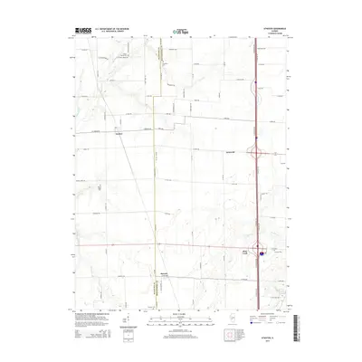
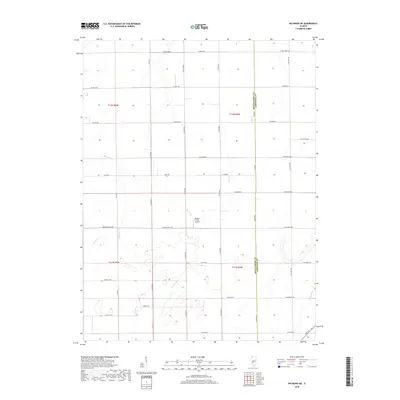
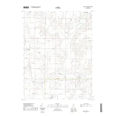
2012 Atwater
Montgomery County, IL
2012 Bald Knob
Montgomery County, IL
2012 Nokomis SW
Montgomery County, IL
2012 Raymond NE
Montgomery County, IL
2012 Sorento North
Montgomery County, IL
2015 Atwater
Montgomery County, IL
2015 Bald Knob
Montgomery County, IL
2015 Nokomis SW
Montgomery County, IL
2015 Raymond NE
Montgomery County, IL
2015 Sorento North
Montgomery County, IL
2018 Atwater
Montgomery County, IL
2018 Bald Knob
Montgomery County, IL
2018 Nokomis SW
Montgomery County, IL
2018 Raymond NE
Montgomery County, IL
2018 Sorento North
Montgomery County, IL
2021 Atwater
Montgomery County, IL
2021 Bald Knob
Montgomery County, IL
2021 Nokomis SW
Montgomery County, IL
2021 Raymond NE
Montgomery County, IL
2021 Sorento North
Montgomery County, IL
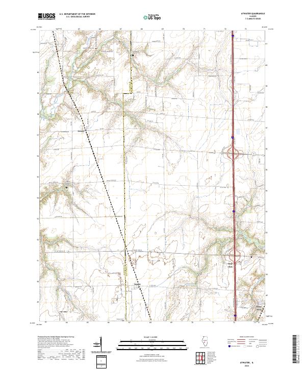
2024 Atwater
Montgomery County, IL
2024 Bald Knob
Montgomery County, IL
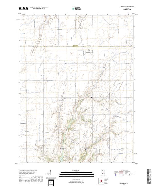
2024 Nokomis SW
Montgomery County, IL
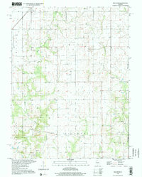
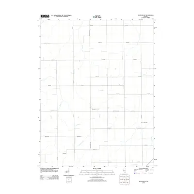
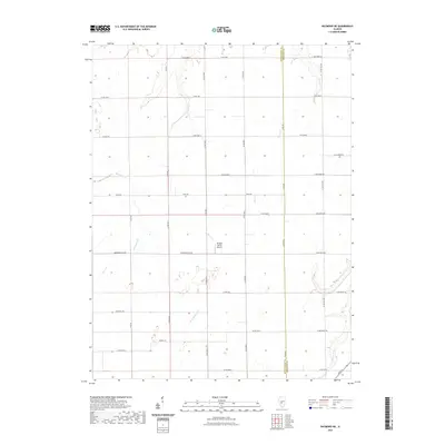
2024 Raymond NE
Montgomery County, IL
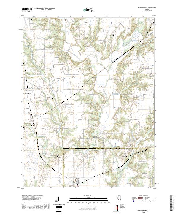
2024 Sorento North
Montgomery County, IL