
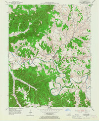
1953 Map of Raywick
USGS Topo · Published 1955About this map
Rolling Fork winds through this Marion County landscape, defining the topography between the hills and the river bottoms. The settlement of Raywick serves as a central hub, where Prather Creek and Knob Creek converge with the main river. To the north, the Louisville and Nashville railroad cuts through the terrain near Saint Francis, while a Distillery on the banks of the fork points to the region's agricultural and industrial heritage. The map is a vital resource for genealogists, documenting several family-named landmarks and rural institutions, including the St Francis Xavier Cem, Sutton Cem, and the now-preserved locations of Highview Sch and Mt Washington Sch. Rising above the valley, Scotts Ridge and prominent points like Flag Knob provide a clear view of the complex drainage patterns of Salt Lick Creek and Sulphur Lick.
Find a feature on this map
33 named features on this map. Tap any name to fly to it.
Don’t see what you’re looking for? This feature index may not catch every label — zoom into the map to look around manually.
Map Details
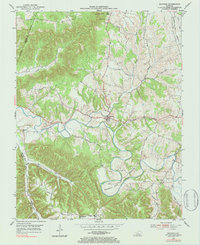
Editions of this 1953 Raywick Map
3 editions found
Other maps of this area

1953 · Howardstown
USGS Topo · 1:24,000

1953 · Loretto
USGS Topo · 1:24,000

1953 · Saloma
USGS Topo · 1:24,000

1953 · Hibernia
USGS Topo · 1:24,000

1953 · Saint Catharine
USGS Topo · 1:24,000

1953 · New Haven
USGS Topo · 1:24,000

1953 · Spurlington
USGS Topo · 1:24,000

1953 · Lebanon West
USGS Topo · 1:24,000

1957 · Winchester
USGS Topo · 1:250,000

1960 · Winchester
USGS Topo · 1:250,000