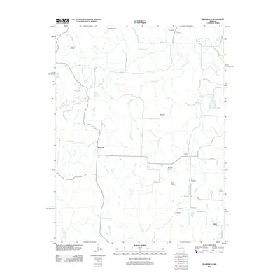
2012 Map of Readsville
USGS Topo · Published 2012About this map
Readsville sits at the heart of this rural landscape, positioned where several county routes converge amidst a network of creek branches. The area is defined by its numerous family and parish burial grounds, including the Antioch Cemetery to the north and the Atterberry Cemetery near the southern settlement of Egbert. The geography transitions into the open expanse of Hancock Prairie in the south-central portion of the quadrangle, a name suggesting the historical vegetation patterns of the region.
Find a feature on this map
57 named features on this map. Tap any name to fly to it.
Don’t see what you’re looking for? This feature index may not catch every label — zoom into the map to look around manually.
Map Details
Editions of this 2012 Readsville Map
This is the sole edition of this map. No revisions or reprints were ever made.
Other maps of this area

1890 · Fulton
USGS Topo · 1:125,000

1928 · Fulton
USGS Topo · 1:62,500

1931 · Fulton
USGS Topo · 1:62,500

1935 · Morrison
USGS Topo · 1:48,000

1940 · Montgomery City
USGS Topo · 1:62,500

1942 · Montgomery City
USGS Topo · 1:62,500

1942 · Morrison
USGS Topo · 1:62,500

1945 · Mokane
USGS Topo · 1:62,500

1945 · Morrison
USGS Topo · 1:62,500

1949 · Saint Louis
USGS Topo · 1:250,000