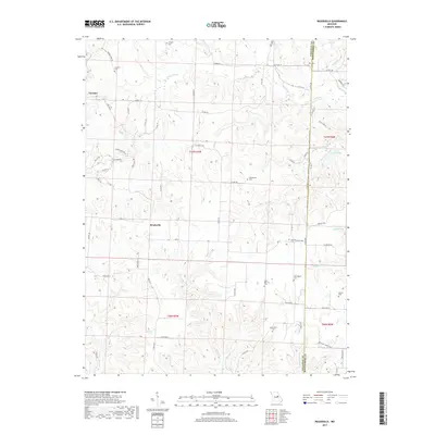
2017 Map of Readsville
USGS Topo · Published 2017About this map
The border between Callaway and Montgomery counties splits this Missouri landscape, where the settlements of Readsville and Yucatan serve as quiet centers of a long-established rural community. The area is defined by its numerous small burial grounds that dot the rolling terrain, including Antioch Cem, Whitehead Cem, and the Saint Patricks Cem, providing significant points of interest for genealogical research. Waterways like the Prairie Fork and Tavern Cr carve through the countryside, while the man-made Saint Joseph Lake marks the northeastern corner of the map. This 2017 survey details a landscape of managed timber and agricultural fields accessed via an intricate network of secondary roads, including State Hwy YY and State Rd D, illustrating the persistent rural character of this region in the 21st century.
Find a feature on this map
73 named features on this map. Tap any name to fly to it.
Don’t see what you’re looking for? This feature index may not catch every label — zoom into the map to look around manually.
Map Details
Editions of this 2017 Readsville Map
This is the sole edition of this map. No revisions or reprints were ever made.
Other maps of this area

1890 · Fulton
USGS Topo · 1:125,000

1928 · Fulton
USGS Topo · 1:62,500

1931 · Fulton
USGS Topo · 1:62,500

1935 · Morrison
USGS Topo · 1:48,000

1940 · Montgomery City
USGS Topo · 1:62,500

1942 · Montgomery City
USGS Topo · 1:62,500

1942 · Morrison
USGS Topo · 1:62,500

1945 · Mokane
USGS Topo · 1:62,500

1945 · Morrison
USGS Topo · 1:62,500

1949 · Saint Louis
USGS Topo · 1:250,000