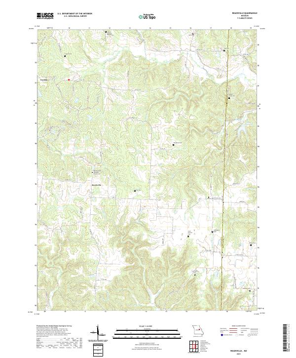
2021 Map of Readsville
USGS Topo · Published 2021About this map
Readsville and the settlement of Yucatan anchor this portion of eastern Callaway County, where a network of rural roads follows the ridges between winding drainage systems. The landscape is defined by the significant branching of Prairie Fork and its tributaries, including Cow Cr and Bull Br, which carve into the terrain. Numerous small family and congregational burial grounds are scattered throughout the region, such as Gregory Cem, Whitehead Cem, and Gill Cem, providing valuable physical markers for genealogical research in this part of Missouri. The eastern edge of the map follows the Callaway and Montgomery county line. Along this boundary, researchers can find the Saint Joseph Lake area and spiritual landmarks like Antioch Christian Church Cem and Bethel United Methodist Church Cem, reflecting the deep-rooted community history of the rural townships.
Find a feature on this map
75 named features on this map. Tap any name to fly to it.
Don’t see what you’re looking for? This feature index may not catch every label — zoom into the map to look around manually.
Map Details
Editions of this 2021 Readsville Map
This is the sole edition of this map. No revisions or reprints were ever made.
Other maps of this area

1890 · Fulton
USGS Topo · 1:125,000

1928 · Fulton
USGS Topo · 1:62,500

1931 · Fulton
USGS Topo · 1:62,500

1935 · Morrison
USGS Topo · 1:48,000

1940 · Montgomery City
USGS Topo · 1:62,500

1942 · Montgomery City
USGS Topo · 1:62,500

1942 · Morrison
USGS Topo · 1:62,500

1945 · Mokane
USGS Topo · 1:62,500

1945 · Morrison
USGS Topo · 1:62,500

1949 · Saint Louis
USGS Topo · 1:250,000