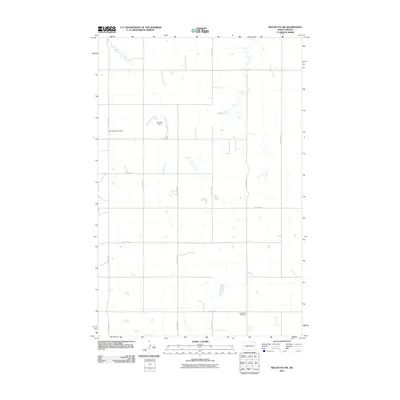
2011 Map of Red Butte SW
USGS Topo · Published 2011About this map
Saint Benedict Cemetery and Buchmann Cemetery serve as the primary historic anchors for this rural North Dakota landscape in Oliver County. The terrain is defined by the winding course of Brush Creek and the localized water management of the Joe Zahn Dam, which supports several small ponds and wetlands across the prairie. The map documents a rigid grid of section-line roads, such as 59th Ave SW and 21st St SW, which organize the agricultural land into precise quadrants. This spatial arrangement reflects the enduring legacy of the Public Land Survey System in the Great Plains, where community life is centered on scattered religious sites and small family-named landmarks. The absence of concentrated settlements highlights the sparse, purely agrarian character of the region during the early twenty-first century.
Find a feature on this map
16 named features on this map. Tap any name to fly to it.
Don’t see what you’re looking for? This feature index may not catch every label — zoom into the map to look around manually.
Map Details
Editions of this 2011 Red Butte SW Map
This is the sole edition of this map. No revisions or reprints were ever made.
Other maps of this area

1954 · Bismarck
USGS Topo · 1:250,000

1954 · McClusky
USGS Topo · 1:250,000

1958 · Bismarck
USGS Topo · 1:250,000

1958 · McClusky
USGS Topo · 1:250,000

1968 · Red Butte
USGS Topo · 1:24,000

1968 · Medicine Butte NE
USGS Topo · 1:24,000

1968 · Red Butte NW
USGS Topo · 1:24,000

1970 · Bluegrass
USGS Topo · 1:24,000

1970 · Hailstone Butte
USGS Topo · 1:24,000

1970 · Glen Ullin NE
USGS Topo · 1:24,000