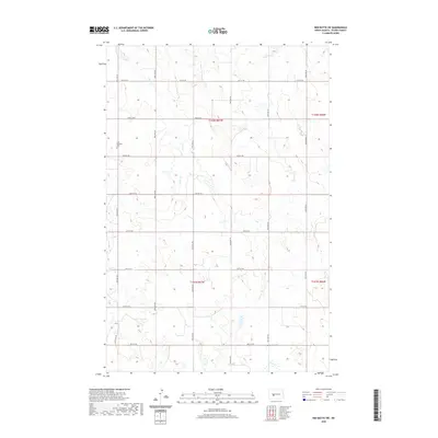
2020 Map of Red Butte SW
USGS Topo · Published 2020About this map
Oliver County rural life is preserved here in a 2020 layout of section lines and agricultural allotments. The landscape is defined by the headwaters and tributaries of Brush Cr, which winds through the central portion of the quadrangle. This recent topographical study maintains a clear record of local genealogy and land use through the presence of established burial sites such as Saint Benedict Cem in the northwest and Buchmann Cem further south. The rigid grid of the Public Land Survey System is mirrored in the modern road network, where routes like 21st St SW and 59th Ave SW follow the exact paths of the early township boundaries. This continuity between early 20th-century surveying and contemporary infrastructure offers a clear view of how the North Dakota prairie was organized and maintained over generations.
Find a feature on this map
21 named features on this map. Tap any name to fly to it.
Don’t see what you’re looking for? This feature index may not catch every label — zoom into the map to look around manually.
Map Details
Editions of this 2020 Red Butte SW Map
This is the sole edition of this map. No revisions or reprints were ever made.
Other maps of this area

1954 · Bismarck
USGS Topo · 1:250,000

1954 · McClusky
USGS Topo · 1:250,000

1958 · Bismarck
USGS Topo · 1:250,000

1958 · McClusky
USGS Topo · 1:250,000

1968 · Red Butte
USGS Topo · 1:24,000

1968 · Medicine Butte NE
USGS Topo · 1:24,000

1968 · Red Butte NW
USGS Topo · 1:24,000

1970 · Bluegrass
USGS Topo · 1:24,000

1970 · Hailstone Butte
USGS Topo · 1:24,000

1970 · Glen Ullin NE
USGS Topo · 1:24,000