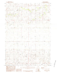
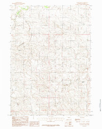
1984 Map of Red Hill
USGS Topo · Published 1984About this map
Cheyenne River and its various tributaries define this mid-1980s landscape in Converse County, where the high plains terrain is marked by prominent landforms like Monument Hill and Red Hill. The area's industrial character is indicated by scattered operations labeled simply as Mines and Mine, positioned near the drainage of Brush Creek. This period of land use shows a network of unimproved roads and trails connecting these remote points across the Highland Flats in the southern portion of the sheet.
Find a feature on this map
19 named features on this map. Tap any name to fly to it.
Don’t see what you’re looking for? This feature index may not catch every label — zoom into the map to look around manually.
Map Details
Editions of this 1984 Red Hill Map
This is the sole edition of this map. No revisions or reprints were ever made.
Other maps of this area

1955 · Newcastle
USGS Topo · 1:250,000

1958 · Newcastle
USGS Topo · 1:250,000

1959 · Bill
USGS Topo · 1:62,500

1959 · Betty Reservoir
USGS Topo · 1:62,500

1959 · Coal Draw
USGS Topo · 1:62,500
1959 · Highland Flats
USGS Topo · 1:62,500

1979 · Bill
USGS Topo · 1:100,000
1984 · Bobby Draw
USGS Topo · 1:24,000
1984 · Whipple Hollow
USGS Topo · 1:24,000
1984 · Patsy Draw
USGS Topo · 1:24,000