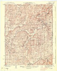
1938 Map of Redbird
USGS Topo · Published 1938About this map
Lanes Prairie and the winding course of the Bourbeuse River anchor this late 1930s landscape across the borderlands of Phelps, Maries, and Gasconade Counties. The southern edge of the map is defined by the St Louis San Francisco railroad corridor, where the town of St James serves as a regional hub featuring the St James Hospital and the Soldiers Home. This era shows a high density of rural infrastructure, with numerous country schools like Groverdale Sch and Flag Spring Sch serving isolated agricultural communities.
Find a feature on this map
74 named features on this map. Tap any name to fly to it.
Don’t see what you’re looking for? This feature index may not catch every label — zoom into the map to look around manually.
Map Details
Editions of this 1938 Redbird Map
3 editions found

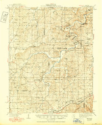
Other maps of this area

1903 · Sullivan
USGS Topo · 1:125,000

1912 · Rolla
USGS Topo · 1:62,500

1928 · Meramec Spring
USGS Topo · 1:62,500

1932 · Steelville
USGS Topo · 1:48,000

1933 · Steelville
USGS Topo · 1:62,500

1934 · Linn
USGS Topo · 1:48,000

1934 · Bland
USGS Topo · 1:62,500

1934 · Redbird
USGS Topo · 1:62,500

1935 · Gerald
USGS Topo · 1:48,000

1937 · Bland
USGS Topo · 1:62,500