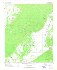
1973 Map of Redden
USGS Topo · Published 1975About this map
Hewitt Mountain and Jackfork Mountain dominate this landscape in the southeastern Oklahoma hills, framing the broad McGee Valley. The settlement of Redden sits at the southwestern edge of the quadrangle, while the modern transit corridor of the Indian Nation Toll Road cuts through the eastern valley, marked by the Daisy Interchange. This era of the early 1970s shows a transitional countryside where traditional landmarks like Hewitt Cem, Baker Cem, and McGee Ch persist alongside newer infrastructure like the Landing Strip near Baker Branch. Numerous waterways including McGee Creek, Cedar Creek, and Buck Creek drain the surrounding timbered ridges, illustrating the complex drainage patterns of the Kiamichi mountain foothills during this period of rural development.
Find a feature on this map
30 named features on this map. Tap any name to fly to it.
Don’t see what you’re looking for? This feature index may not catch every label — zoom into the map to look around manually.
Map Details
Editions of this 1973 Redden Map
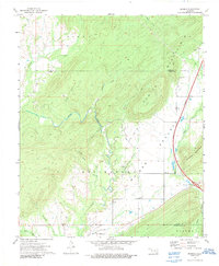
2 editions found
Other maps of this area

1898 · McAlester
USGS Topo · 1:125,000

1901 · Antlers
USGS Topo · 1:125,000

1909 · Mc Alester
USGS Topo · 1:125,000

1912 · Antlers
USGS Topo · 1:125,000

1925 · Antlers
USGS Topo · 1:125,000

1950 · Mcalester
USGS Topo · 1:250,000

1957 · Lane NW
USGS Topo · 1:24,000

1957 · Jumbo
USGS Topo · 1:24,000

1957 · Lane NE
USGS Topo · 1:24,000

1957 · Limestone Gap
USGS Topo · 1:24,000