
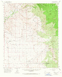
1959 Map of Redrock
USGS Topo · Published 1960About this map
The Gila River cuts through the desert landscape of western Grant County, anchoring a region of rugged peaks and deep canyons. Near the settlement of Redrock, the terrain shifts from the open flats of the Gila National Forest boundary into the steep elevations of Bullard Peak and the Big Burro Mountains. Historical human activity is marked by the presence of an Old Indian Village (Site) overlooking the river and several isolated Graves scattered along the western canyons.
Find a feature on this map
77 named features on this map. Tap any name to fly to it.
Don’t see what you’re looking for? This feature index may not catch every label — zoom into the map to look around manually.
Map Details
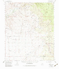
Editions of this 1959 Redrock Map
Other maps of this area

1909 · Silver City
USGS Topo · 1:125,000

1949 · Circle Mesa
USGS Topo · 1:24,000

1950 · Wind Mountain
USGS Topo · 1:24,000

1950 · Burro Peak
USGS Topo · 1:24,000

1951 · Circle Mesa
USGS Topo · 1:24,000

1951 · Big Burro Mountains
USGS Topo · 1:24,000

1951 · Wind Mountain
USGS Topo · 1:24,000

1954 · Silver City
USGS Topo · 1:250,000

1958 · Silver City
USGS Topo · 1:250,000

1959 · Steeple Rock
USGS Topo · 1:62,500