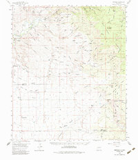
1959 Map of Redrock
USGS Topo · Published 1984About this map
The Gila River cuts through the northwest corner of this landscape, anchoring a region of high desert terrain and historic ranching operations in the late 1950s. Near the river, the small settlement of Redrock serves as a focal point, situated close to the Redrock Cem and the archaeological Old Indian Village (Site). The map reveals a land defined by its water sources and mining history, with numerous tanks and windmills like Cottonwood Windmill and Spencer Windmill supporting local livestock across the Big Burro Mountains.
Find a feature on this map
84 named features on this map. Tap any name to fly to it.
Don’t see what you’re looking for? This feature index may not catch every label — zoom into the map to look around manually.
Map Details
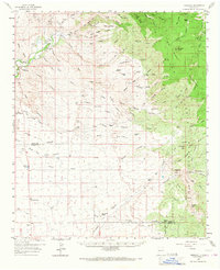
Editions of this 1959 Redrock Map

Other maps of this area

1909 · Silver City
USGS Topo · 1:125,000

1949 · Circle Mesa
USGS Topo · 1:24,000

1950 · Wind Mountain
USGS Topo · 1:24,000

1950 · Burro Peak
USGS Topo · 1:24,000

1951 · Circle Mesa
USGS Topo · 1:24,000

1951 · Big Burro Mountains
USGS Topo · 1:24,000

1951 · Wind Mountain
USGS Topo · 1:24,000

1954 · Silver City
USGS Topo · 1:250,000

1958 · Silver City
USGS Topo · 1:250,000

1959 · Steeple Rock
USGS Topo · 1:62,500