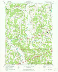
1971 Map of Reelsville
USGS Topo · Published 1972About this map
Big Walnut Creek carves a winding path through this central Indiana landscape, a region defined in the early 1970s by its river crossings and established small settlements. Three distinct timber structures, the Houck Covered Bridge, Manhattan Covered Bridge, and Huffman Covered Bridge, remain prominent landmarks along the waterways, highlighting a persistent engineering heritage in Washington and Madison townships. The local infrastructure follows a mix of traditional water-level routes and the straight line of the Penn Central railroad, which services the community of Reelsville.
Find a feature on this map
40 named features on this map. Tap any name to fly to it.
Don’t see what you’re looking for? This feature index may not catch every label — zoom into the map to look around manually.
Map Details
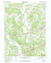
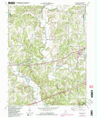
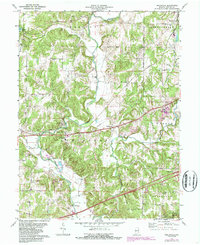
Editions of this 1971 Reelsville Map
4 editions found
Other maps of this area

1908 · Clay City
USGS Topo · 1:48,000

1910 · Clay City
USGS Topo · 1:62,500

1950 · Brazil East
USGS Topo · 1:24,000

1951 · Clinton Falls
USGS Topo · 1:24,000

1951 · Mansfield
USGS Topo · 1:24,000

1952 · Reelsville
USGS Topo · 1:24,000

1953 · Indianapolis
USGS Topo · 1:250,000

1956 · Indianapolis
USGS Topo · 1:250,000

1956 · Cloverdale
USGS Topo · 1:24,000

1956 · Cataract
USGS Topo · 1:24,000