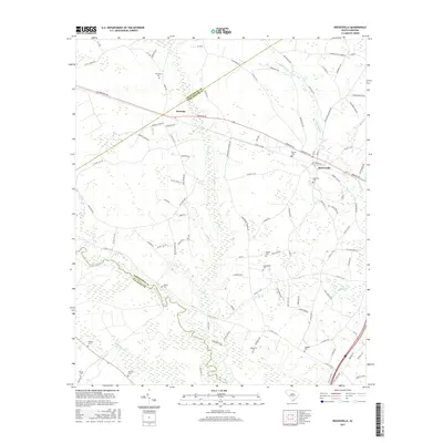
2017 Map of Reevesville
USGS Topo · Published 2017About this map
The Edisto River meanders through the southern portion of this landscape, defining the border between Dorchester and Colleton Counties. To the north, the town of Reevesville serves as a local hub near the Polk Swamp, while the small settlement of Dorange sits at the intersection of Dorange Rd and Rigby Rd. This area of the South Carolina Lowcountry is characterized by its extensive network of watercourses and wetlands, including Cattle Cr, Cowtail Cr, and Bear Br. Genealogists will find a high density of family and community burial sites, such as the Magnolia Cem, Thompson Cem, and the uniquely named Old Miss Cem. The map illustrates a rural economy organized around these waterways and an intricate grid of county roads that connect isolated farmsteads and historic church communities.
Find a feature on this map
107 named features on this map. Tap any name to fly to it.
Don’t see what you’re looking for? This feature index may not catch every label — zoom into the map to look around manually.
Map Details
Editions of this 2017 Reevesville Map
This is the sole edition of this map. No revisions or reprints were ever made.
Other maps of this area

1919 · Lodge
USGS Topo · 1:62,500

1920 · Bowman
USGS Topo · 1:48,000

1920 · Lodge
USGS Topo · 1:48,000

1920 · Orangeburg
USGS Topo · 1:48,000

1920 · St. George
USGS Topo · 1:48,000

1921 · Orangeburg
USGS Topo · 1:62,500

1921 · Lodge
USGS Topo · 1:62,500

1921 · Bowman
USGS Topo · 1:62,500

1921 · St. George
USGS Topo · 1:62,500

1943 · Bowman
USGS Topo · 1:62,500