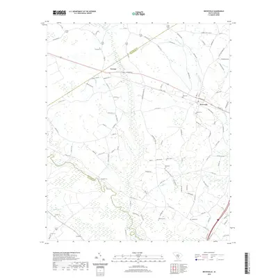
2020 Map of Reevesville
USGS Topo · Published 2020About this map
Reevesville and the smaller settlement of Dorange anchor this low-country landscape where the Orangeburg and Dorchester county lines meet. The terrain is defined by a complex network of waterways, including the winding Edisto River along the southwestern border and numerous blackwater drainages such as Polk Swamp, Cowtail Cr, and Big Br. These creek systems create a patchwork of wetlands that have historically shaped the roads and property boundaries of the region.
Find a feature on this map
107 named features on this map. Tap any name to fly to it.
Don’t see what you’re looking for? This feature index may not catch every label — zoom into the map to look around manually.
Map Details
Editions of this 2020 Reevesville Map
This is the sole edition of this map. No revisions or reprints were ever made.
Other maps of this area

1919 · Lodge
USGS Topo · 1:62,500

1920 · Bowman
USGS Topo · 1:48,000

1920 · Lodge
USGS Topo · 1:48,000

1920 · Orangeburg
USGS Topo · 1:48,000

1920 · St. George
USGS Topo · 1:48,000

1921 · Orangeburg
USGS Topo · 1:62,500

1921 · Lodge
USGS Topo · 1:62,500

1921 · Bowman
USGS Topo · 1:62,500

1921 · St. George
USGS Topo · 1:62,500

1943 · Bowman
USGS Topo · 1:62,500