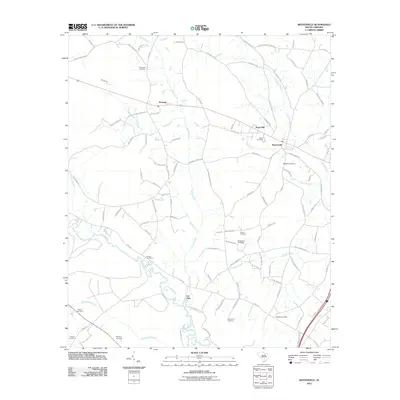
1982 Map of Reevesville
USGS Topo · Published 1983About this map
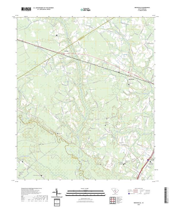
Reevesville serves as a central hub in this late-twentieth-century study of the South Carolina Lowcountry, situated along the Southern railway corridor. The landscape is defined by the winding course of the Edisto River, which forms the southwestern boundary near the Dorchester Co Colleton Co line. The distribution of rural landmarks, including St Matthews Ch and Magnolia Cem, illustrates a long-standing pattern of community nodes that survived the shift toward more modern agricultural and industrial practices.
Find a feature on this map
34 named features on this map. Tap any name to fly to it.
Don’t see what you’re looking for? This feature index may not catch every label — zoom into the map to look around manually.
Map Details
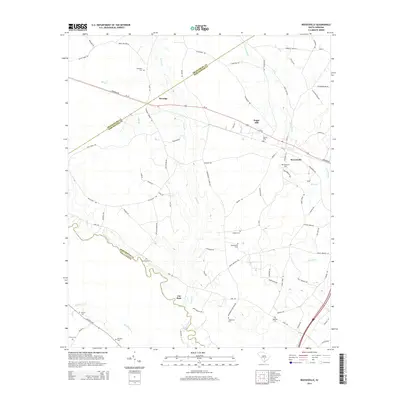
Editions of this 1982 Reevesville Map
This is the sole edition of this map. No revisions or reprints were ever made.
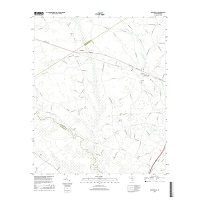
Historical Maps of Reevesville Through Time
6 maps found