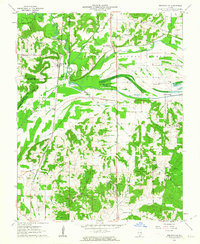
1962 Map of Reevesville
USGS Topo · Published 1963About this map
Illinois Central rails track south through the lowlands of the Shawnee National Forest, connecting rural communities during the early 1960s. The settlement of Reevesville serves as a central hub near the intersection of Bay Creek and Old Bay, while smaller hamlets like Renshaw and Big Bay dot the agricultural periphery. The landscape is defined by its complex drainage network, where the Gann Ditch and Bay Creek Ditch were engineered to manage the bottomlands between Stafford and Holmes Corner.
Find a feature on this map
38 named features on this map. Tap any name to fly to it.
Don’t see what you’re looking for? This feature index may not catch every label — zoom into the map to look around manually.
Map Details
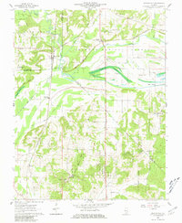
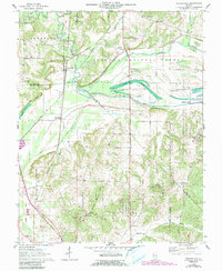
Editions of this 1962 Reevesville Map
3 editions found
Other maps of this area

1917 · Brownfield
USGS Topo · 1:62,500

1918 · Vienna
USGS Topo · 1:62,500

1919 · Vienna
USGS Topo · 1:62,500

1926 · Paducah
USGS Topo · 1:62,500

1928 · La Center
USGS Topo · 1:62,500

1929 · Paducah
USGS Topo · 1:62,500

1932 · La Center
USGS Topo · 1:62,500

1940 · Paducah
USGS Topo · 1:62,500

1942 · Vienna
USGS Topo · 1:62,500

1949 · Paducah
USGS Topo · 1:250,000