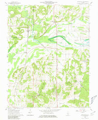
1962 Map of Reevesville
USGS Topo · Published 1981About this map
Reevesville and the Illinois Central Gulf Railroad corridor dominate this mid-century look at the southern Illinois landscape. The terrain is a complex network of natural and engineered waterways, where Bay Creek and Black Slough are supplemented by an extensive system of drainage infrastructure like the New Columbia Ditch and Gann Ditch. This drainage pattern underscores the historical effort to manage the bottomlands within the Shawnee National Forest for both agriculture and timber.
Find a feature on this map
52 named features on this map. Tap any name to fly to it.
Don’t see what you’re looking for? This feature index may not catch every label — zoom into the map to look around manually.
Map Details
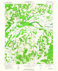
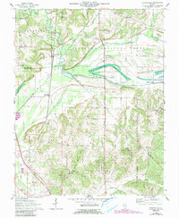
Editions of this 1962 Reevesville Map
3 editions found
Other maps of this area

1917 · Brownfield
USGS Topo · 1:62,500

1918 · Vienna
USGS Topo · 1:62,500

1919 · Vienna
USGS Topo · 1:62,500

1926 · Paducah
USGS Topo · 1:62,500

1928 · La Center
USGS Topo · 1:62,500

1929 · Paducah
USGS Topo · 1:62,500

1932 · La Center
USGS Topo · 1:62,500

1940 · Paducah
USGS Topo · 1:62,500

1942 · Vienna
USGS Topo · 1:62,500

1949 · Paducah
USGS Topo · 1:250,000